Saturday, October 22, 2005

10/22/2005 – Dog River Clean Up

Launch: Luscher Park public boat ramp. Launch Cost: Free. Route: Meander along the banks of Dog River picking up trash. Distance: Unknown. Average Speed: Very Slow. Time: Approx 3.5 hrs. Pace: Very Slow. Weather: Temperature nice, tide falling, minimal current, 10 mph winds from the north. Perfect day for kayaking!

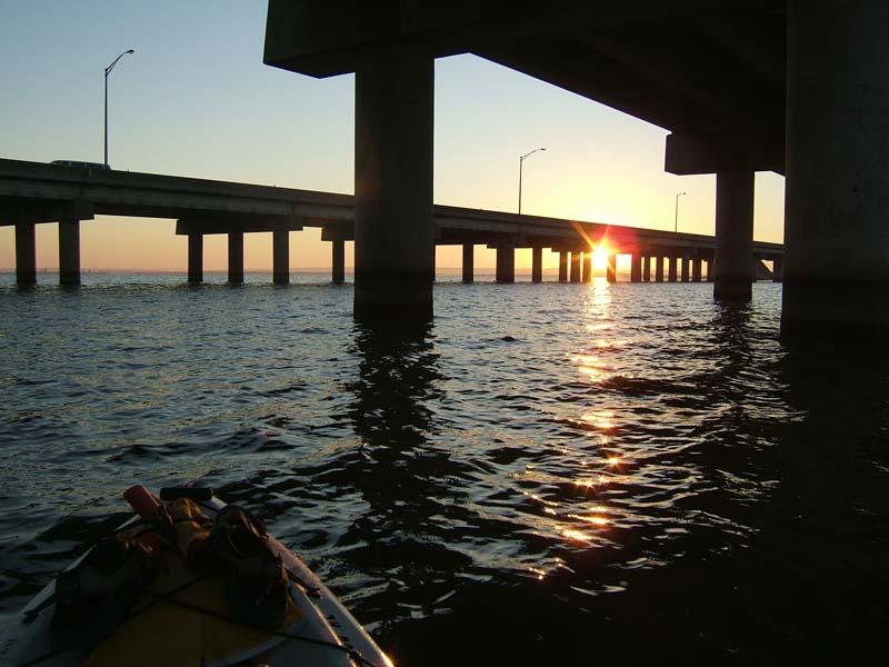
Luscher Park was quite busy today with several little league games going on along with the Dog River Clean up. Luscher Park felt safe today and I saw no suspicious behavior. I did not see any “Mobile Bay Canoe and Kayak Club” tee-shirts. What a shame that there was very little MBCKC presence on such a pretty day. There were quite a few Sunshine Canoes canoes available for use. It did not take long before the canoes were full of volunteers to clean up the river. There was a powerboat towing a chain of half a dozen canoes up river so they would have more time and energy to clean instead of paddle.

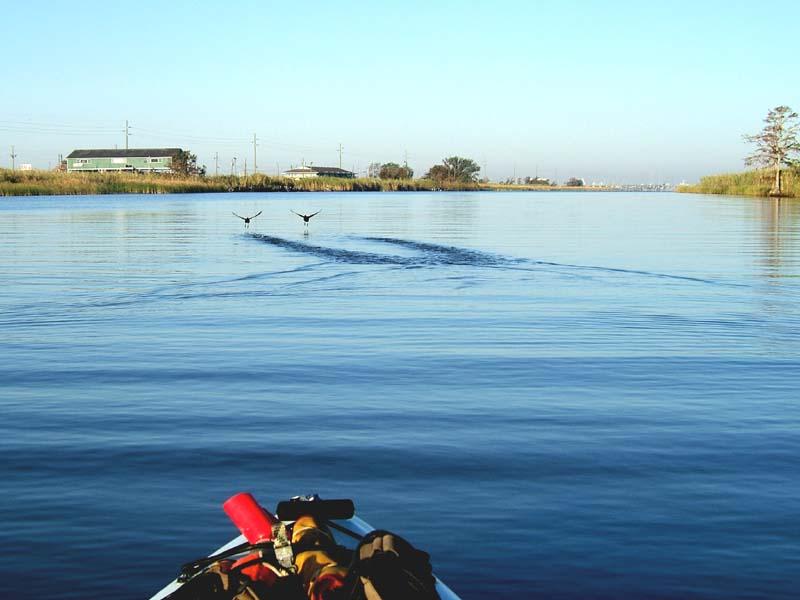
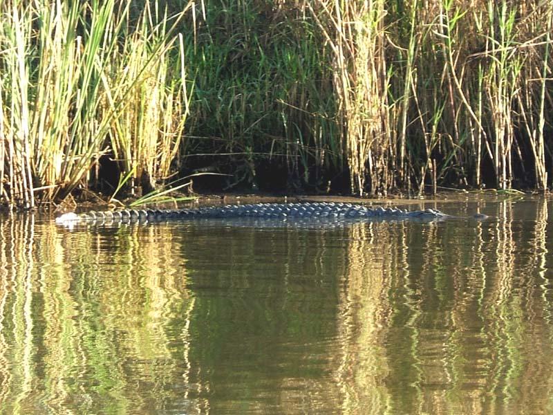
(1) Above left. Although this was a kayaking work day, there was much beauty to be seen, like this display of yellow flowers clogging the waterway. (2) Above right. Cardinal flowers are in bloom.

(3) Above left. A canoe coming in with trash piled high. (4) Above right. Parting Shot. This volunteer turned around, noted my presence, and proceeded to piss on the dumpster anyway. Smile, you’re on candid camera and your uncouth behavior is now displayed on the web. There were restrooms on site…

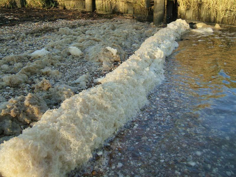
The Dog River Clearwater Revival, with thanks to Dr. Mimi Fearn, has done wonders to help promote a cleaner Dog River. Despite gains today, Dog River is fighting a losing battle. As I drove away from Luscher Park, the amount of trash along side the roads boggled the mind. I know the recent hurricanes generated much trash and debris, but there is no reason for plastic bottles, beer cans, and other household garbage to be littering the roadsides so densely. One heavy rain and all that trash I saw will be headed into Dog River. I’ve been in Dog River during a heavy rain and it looked like a parade of trash flowing down the river. If leaders want Dog River to be clean, the source of pollution must be stopped. The surrounding communities must clean up their piles of trash and clean their roadsides, and keep their community clean. Until then, if you happen to kayak or canoe in Dog River, welcome to the Navco Area Dog River Garbage Dump. Enjoy your paddle.

Sunday, October 16, 2005

10/16/2005 – Blakeley - Tensaw Loop

Launch: Public boat ramp in the middle of the Causeway on the North Side. Launch Cost: Free. Route: East along the North side of the Causeway, through Pass Picada, North on the Apalachee, North on Blakeley River, then Southwest on the Tensaw back to the launch site. Distance: 15.7 miles. Average Speed: 3.3 mph. Time: Approx 5 hrs. Pace: Leisurely to Moderate. Weather: 58-70 degrees, decreasing 10-15 mph winds from the North, low tide, minimal current. Perfect day for kayaking! Been rather busy so kayaking has been on the backburner lately. My sister Ruth got me to sign up for a half-marathon run in January at Disneyworld, so some kayaking time will be devoted to training for the event, hence less activity in this photo journal.

(1) Above left. Enjoying another sunrise from my favorite seat, the Mirage Pedal Kayak, which broke again today...sigh… (2) Above right. Got out at the Riverdocs ramp to pour on some sunscreen. Along the edge of the water was a line of water bubbles about as thick as a telephone pole. Apparently most river foam is a product of nature.

(3) Above left. Waters calmed down once the winds from the north were blocked in Pass Picada. Here a couple of Coots decided they didn’t like this tailgator and took off into the air. (4) Above right. Along the bank, an alligator decided he’d rather soak up sun than go under water to evade me.

(5) Above left. There were very few flowers and signs of life along the Apalachee and Blakeley Rivers, except for this one mud bank where the Gulls and Terns were wading around in the muck. Yuck! Rhyme time. (6) Above right. Again, not much to see along the Tensaw until the skyline came into view. The RSA skyscrapper continues to rise above every other building in the city. There were a few boats on the river on this perfect, cooler day. Summer is over. Yahoo!

(7) Above left. On the way back, I pedaled down to the Oyster House Restaurant and saw where the bottom floor had been gutted by Hurricane Katrina. To see what it looked like before, click here. Imagine, someone wants to spend a lot of money putting Condos along the Causeway. Bet they find it expensive to get insurance now. (8) Above right. The little island just west of the old Ramada Inn (Pink Hotel), took a beating. This is also known as Goat Island because several goats used to make this island home. No signs of goats today, but in this photo, there is a houseboat in the middle of the island that was deposited by the hurricane.

(9) Above left. It is always a pleasure to see shoreline birds going about their business as these Ibis in Pass Picada were doing. (10) Above right. Also saw a Great Heron along side of Goat Island standing in front of a stand of a stand of Duck Potatos (white flowers). I may have saved this Heron because if you look closely at its feet, an alligator was close enough to take a breakfast lunge at the heron. This was a really nice day to get out on the water. It was most enjoyable.

Saturday, October 01, 2005

10/01/2005 – Dauphin Island to Sand Island

Launch: Southeast end of Dauphin Island by the rock jetties. Launch Cost: Free. Route: Along south side of DI to Pier, down north side of Sand Island and across Pelican Bay back to the launch site. Distance: 7.8 miles. Average Speed: 3.2 mph. Time: Approx 2.5 hrs. Pace: Leisurely. Weather: Sunny and warm, 10-15 mph winds from the Northeast. Waves 1-2 feet.

(1) Above left: This house, which I expected to be gone, only suffered minor damage from the recent hurricanes. It lost the utility room on the bottom and some decorative wood webbing. To see what it looked like in July, click here. (2) Above right. Near the golf course, all the pine trees have a distinct lean to them. Pine needles are reddish brown from storm damage.

(3) Above left. More of the southeast corner of Sand Island has disappeared while the sand continues to build up near the pier. One can actually wade in the water to the end of the pier. Beware! The gap between Sand Island and Dauphin Island is narrower, so currents could be more dangerous. (4) Above right. The top quarter of Sand Island is coated with dead sea grasses up to 4 feet deep mixed with all kind of debris. Even though the Sand Island has shifted and moved, most of it is in very good shape. I had no trouble finding marine life.

(5) Above left. Here, the beach is littered with many moon or figure-eight jellyfish – mostly harmless. (6) Above right. This jellyfish was not a figure-eight jellyfish. Since it only had a couple of dark tentacles, I’m thinking it might be a box jellyfish, which is one jellyfish you don’t want to get stung by.

(7) Above left. Yet another type of jellyfish, this one being called a cannonball jellyfish because it is rigid and can get to the size of a soccer ball – mostly harmless. (8) Above right. There appears to be more birds now than before the storms, so if you like bird watching, the southeast end of Sand Island is still a great kayaking and bird watching destination.

(9) Above left. The sands of Sand Island did shift considerably in some places and toward the end, there are now ridges of sand separated by shallow waters. Watch where you walk! (10) Above right. Saw quite a few stingrays and almost stepped on a flounder, too. This was an excellent trip, but it was cut short by building thunderstorms. Thankfully, the storms didn’t really affect kayaking conditions – you still need to be careful and watch conditions judiciously. There were two things absent from this trip - I saw no shrimp boats and no dolphin which are normal sights. I hope both return.