Showing posts with label Three Rivers Lake. Show all posts

Tuesday, August 02, 2011

08/02/2011 - Three Rivers Lake

Launch: Olin Boat Launch in McIntosh, AL
Launch Cost: Free
Destination: Having never paddled the Three Rivers Lake and Otter Bayou area, I decided to explore the waterway perimeters. I tried to paddle Three Rivers Lake back in 2006 but was unsuccessful due to high waters.
Distance: 22 miles (round trip)
Paddle time: 7-1/4 hours
Weather: Sunny. Warm morning to Scorching Hot afternoon. No wind. Tide was low and beginning rise. Current was limited to about 1 mph.
GPS Track: To view or download the GPS track of this trip, Click Here.


Header Image is a photomerge of a large sandbar located north of the McIntosh launch site.

Sunrise on the Tombigbee River.

Nice thing about the Tombigbee River up here is there are solid bottom sand bars to get out on.

Not much water movement in Otter Bayou. I tried to go to Side Lake Bayou but the channel water level was too low.

There were quite a few people fishing in Three Rivers Lake. This fellow was fishing with 5-6 poles.

This odd looking thing was on the side of a tree well above the water line. Something must be having quite a feast on the tree.

In areas where water levels vary greatly, bare limb hooks can be dangling at face level. These abandoned limb hooks catch whatever isn't paying attention and that can include kayakers.

An alligator came swimming up to the kayak and we had a momentary stalemate. It finally went under water after I tried to ram it.

What is there to do on a hot lazy afternoon? This alligator was sleeping.

There were a lot of nice cypress trees in Three Rivers Lake.

Way up stream, the forest shows signs of being flooded frequently as a dark moss grows high up on the tree trunks.

Nestled in the middle of a hollowed out cypress tree sat the biggest water snake I've ever seen with a body diameter of 2-3 inches.

Turtles have very good eye sight as most dropped into the water before I ever saw them.

Out on the Tombigbee across from Three Rivers Lake are some river gauges. Today's elevation was 1 foot. The river gauges go up to 22 feet. Water levels can vary widely here so make sure you check the river level forecast before paddling up in this area. It is also wise to plan your trip so you go upstream from the launch spot so if heavy rains did occur and you wanted to return back to the launch site you would not have to fight the current on the return trip.

This turkey vulture followed me for about a mile but I wasn't ready to give up the ghost yet.

Saturday, May 13, 2006

05/13/2006 - McIntosh

Launch: Olin public boat landing in Mcintosh, AL in Washington County off US 43. Launch Cost: Free. Route: Across the Tombigbee to Three Rivers Lake and back. Distance: 15.1 miles round trip. Average Speed: 3.2 mph. Time: Approx 5 hrs. Pace: Hard going upstream, easy going down. Weather: Sunny and warm.

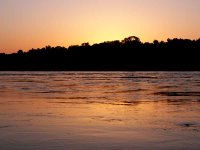
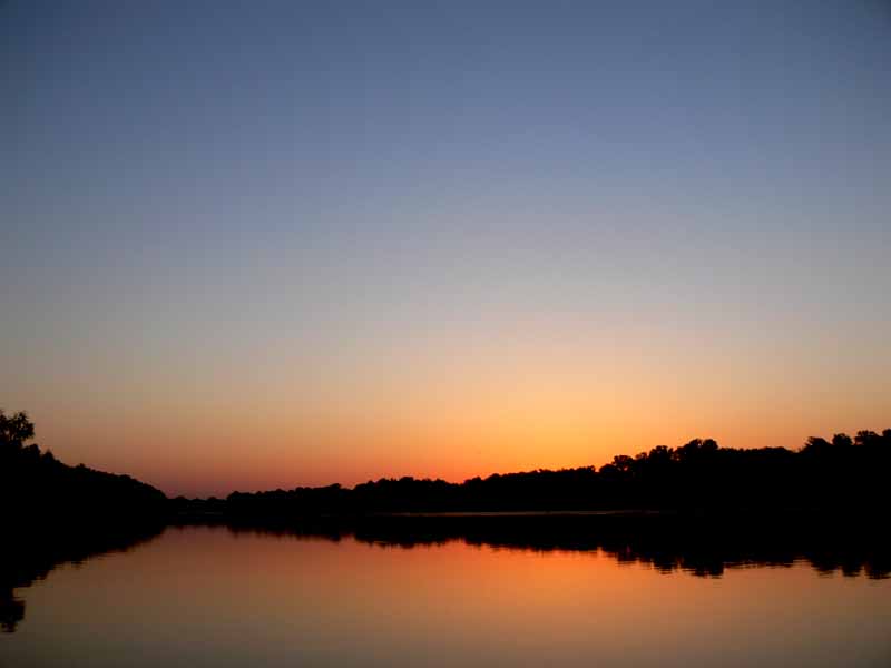
(1) Above left. It was a perfect morning sunrise and the waters of the Tombigbee looked innocent and inviting. (2) Above right. I made one mistake in planning this trip to explore Three Rivers Lake area – I neglected to look at the river levels - it hadn’t rained in several days. Should have known - the rains were torrential further up in the state. Once on the river, it was obvious that the river level was 5-10 feet higher than normal. All the sandbars were under water and the current was flowing at a swift 3-4 mph.
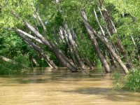

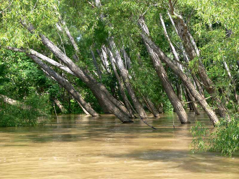
(3) Above left. I fought the current for about 3 hours to go 4 miles upstream to finally arrive at the willow tree entrance to Three Rivers Lake. It is one thing to go upstream into current and turn around to go back. It is another to be pulled into a creek with a 3-4 mph current. Without knowing what the river conditions were going to do (it could get worse), I chose not to explore the Three Rivers Lake. (4) Above right. When areas get flooded, insects and spiders have no choice but to share cramped living quarters.
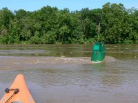
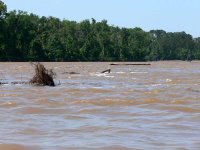
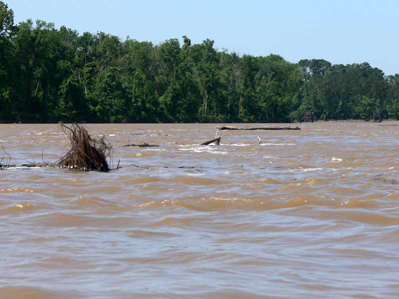
(5) Above left. On the return trip, you could see just how fast the volume of water was flowing when passing by the many river buoys. (6) Above right. When I got back near the launch site, the current was really ripping which allowed me to paddle at 8-9 mph downstream along with the stream of tree debris. Next time I’ll look at the river levels before going into the upper delta so as to avoid tough currents like this.