Showing posts with label Jug Lake. Show all posts

Thursday, April 01, 2010

04/01/2010 - Bayou Tallapoosa / Bayou Jessamine Loop

Launch: Rice Creek Landing near Stockton, AL
To see or download the Track of this trip, Click Here.


Header Image

1) Rice Creek Landing - water levels are finally down - 6 to 7 feet down. Check out the high water line.

2) Waldo? Forget Waldo - see if you can find the dangerous limb hook in this photo that is at face level. Yes, limb hooks sometimes blend in with the environment and are HARD to see. Click here to see the hook highlighted.

3) I hadn't expected to see such a wide variety of color in the trees today.

 4) The foliage was magnificent.

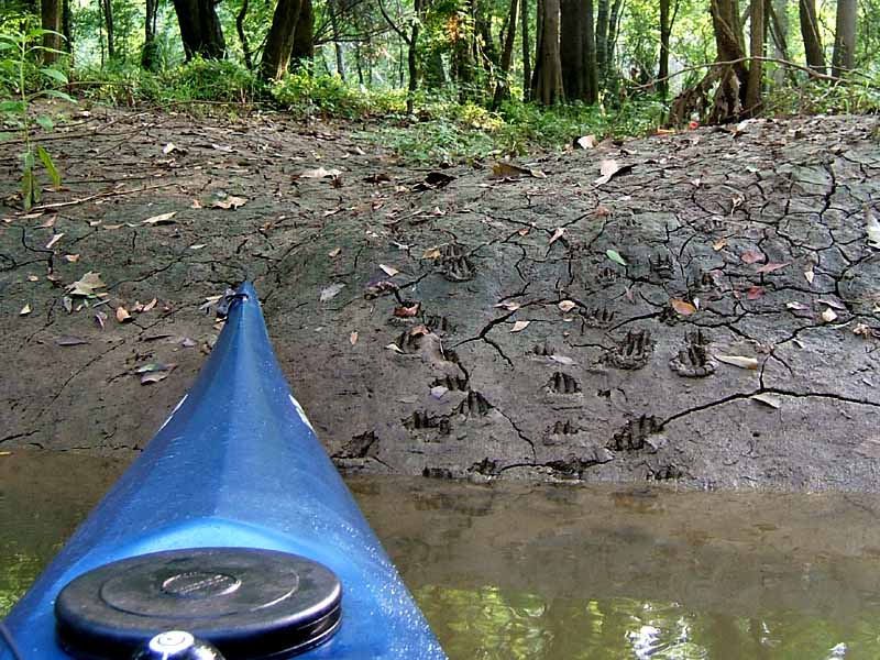
5) Receded waters left the forest floor coated with mud making it easy to spot where critters have been. 

6) Can you figure out what animals left these tracks?

7) Today's route was a loop through Bayou Tallapoosa with stops at Dead Lake Island and Jug Lake platforms. The carpenter bees were horrendous around the platforms so I stayed in the kayak. I also checked to see if the waterways were open to the Chippewa Lakes and Dominic Creek but water levels have to be higher to gain entrance to them.

8) There were about a half dozen snakes that dropped from tree limbs into the water today and in narrow waterways, one needs to pay attention when going near limbs. This harmless water snake, a mere foot away from the kayak, was soaking up some sun on the mud bank.

9) Alligators are not always easy to spot. Today I had to hug the bank to get around quite a few fallen trees. One alligator, high up on the bank and out of view, came crashing down the bank about 5 feet away while I was trying to get around a tree. That woke up me.

10) This is the Two Rivers Point WMA campground. Unfortunately, the metal stairway has shifted out into the water (top railing visible to the left of the kayak) and anyone wanting to camp here now must negotiate the mud bank and the climb could be 4-8 feet high. The root of the tree visible in this photo, is a helpful climbing aid.

11) These little ducks tried to keep up with the Hobie kayak but were no match as it passed them by. They were peeping loudly while mama watched from a distance.

12) An interesting camp site along one of the waterways. Probably a meth lab.

Saturday, April 18, 2009

04/18/2009 - Bayou Jessamine

Launch: Rice Creek
Route: Over to Bayou Jessamine and Jug Lake Platform and back.
Pace: Leisurely.
Weather: Partly Cloudy 65-70 degrees, occasional wind, incoming tide, and minor flooding.

1) Started out in a light sprinkle and thunder. Twenty minutes later the sun was out.

2) Water level was still high enough that padding through the woods was possible in some areas.

3) Because of the high water, there were a lot of snakes on limbs and logs today.

4) Here is another snake.

5) Saw a couple of swallow-tail kites. They were skimming and hitting the water.

6) I searched for the big bald cypress off Bayou Jessamine and didn't find it. Ran into Daniel on my way to the Jug Lake platform. He had searched for the big cypress and didn't find it either. We pooled our knowledge and together, we found it. Here is Daniel looking at a big spider on the big state champion Bald Cypress tree.

7) An unusual looking beetle.

8) One of the shells on the big cypress tree was moving.

9) The texture of decay.

10) The rootball of a tree that had fallen over took on the appearance of a bison or something mean looking.

11) Another look at the Alabama State Champion Bald Cypress Tree


Sunday, June 18, 2006

06/18/2006 – Bayou Tallapoosa

Launch: Rice Creek which is about 4 miles north of I-65 and northwest of Stockton. Launch Cost: Free. Route: Rice Creek to the Dead Lake platforms, then west on Bayou Tallapoosa to Tensaw River. Then south on Tensaw to Two Rivers WMA campground, then east a short distance to Bottle Creek, then south to Bayou Jessamine, then to the Jug Lake platform, then back to the Rice Creek launch site. Distance: 19 miles round trip. Average Speed: 3.0 mph. Time: Approx 6.5 hrs. Pace: Slow. Weather: A little bit steamy in the morning again, sunny until about 10:00 am when it started clouding up keeping the temps more tolerable. Tide was low and the rivers were lower than normal, very little in way of current. Deer Flies (Yellow Flies) persistantly buzzed me but rarely tried to bite.
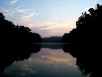
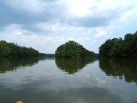
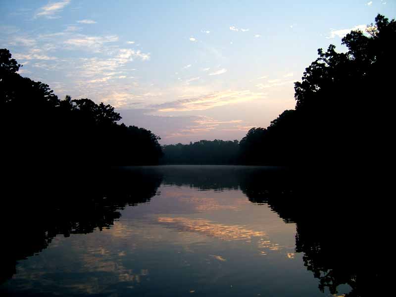
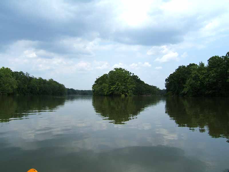
(1) Above left. The sun starts lighting the day on Briar Lake. (2) Above right. Later in the afternoon, after exiting Bayou Jassamine, the clouds start taking on more serious characteristics. I drove through a little rain storm ten minutes after leaving Rice Creek. Good timing!

(3) Above left. Having not seen these Dead Lake platforms since before last year’s hurricanes, it was a surprise to see them still standing. It was even more surprising to see the platforms still looking almost new. (4) Above right. This is the typical scene for Bayou Tallapoosa and Bayou Jessamine. Both are relatively narrow with mud banks and have plenty of fallen trees to navigate around. I had to do one portage on Bayou Jessamine.
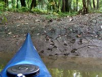
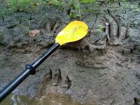
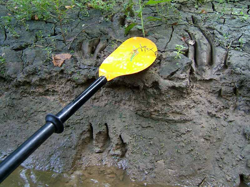
(5) Above left. To be in a narrow bayou with banks high enough that you can’t see what may be standing 10 feet into the woods leaves me on edge, expecially in Bayou Tallapoosa and Bayou Jessamine. Things seem more alive in these areas. The signs of life are all over the mud banks so you will never know what you might see. These look like racoon tracks. (6) Above right. I didn’t see any big ones today, but because of tracks like these, I know there are some gators around.

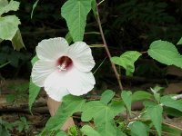
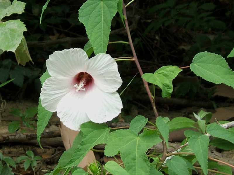
(7) Above left. Also surprising was Two Rivers campground was still intact and accessible. It is a great place to get out and stretch the legs. (8) Above right. Swamp Mallow flowers were abundant.
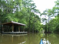
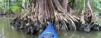
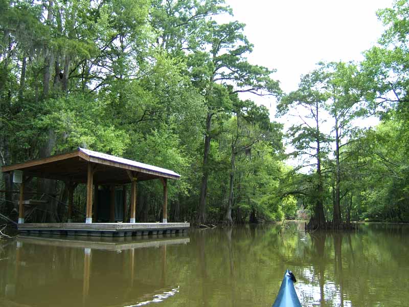
(9) Above left. I also checked out Jug Lake platform and took a break there. (10) Above right. One of the things I like about kayaking in Rice Creek and Jug Lake are the cypress trees. A photomerge isn’t even able to capture the immensity of this cypress tree base.
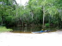
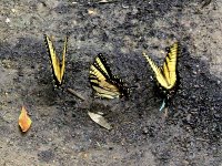
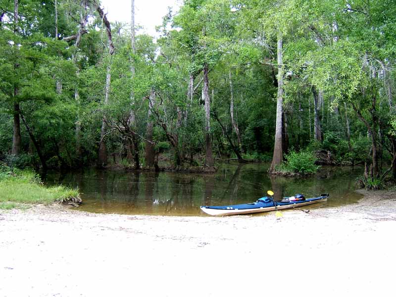
(11) Above left. This is the Rice Creek landing. Launching here when it is dark in the morning is an experience. (12) Above right. Some butterflies laying eggs next to the launch site. If you have never been through Bayou Tallapoosa, I highly recommend it. There is a sandy beach and solid land to get out on where Bayou Tallapoosa (west side) meets the Tensaw River.