Showing posts with label Cliff's Landing. Show all posts

Sunday, August 28, 2011

08/28/2011 - The T

Launch: Cliff's Landing off Highway 225 about 14 miles north of Spanish Fort
Launch Cost: Free
Destination: Paddle up Mifflin Lake to explore Squirrel Bayou and "The T"
Distance: 36 miles (round trip).
Trip Rating: Difficult due to distance. There are no closer boat ramps to use.
Time Paddling: 11-1/4 hours
Weather: Slightly foggy at sunrise. Sunny. Paddled with tidal current going upstream and had the current pushing me downstream on the return trip (Sometimes the tide is a valuable thing). Current ranged between 0.5 and 1.0 mph. No waves. Very little wind. Temperature was tolerable as most of the time was spent paddling in the shade.
GPS Track: To view or download the GPS track of this trip, Click Here.


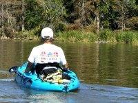
Header image - a docile river dawg watching its territory as this kayaker glided by. "Good Dawg, Good Dawg." Doesn't bark and doesn't chase.

It was a nice cool morning (about 70 degrees). Wisps of surface fog floated across the water. I left about an hour before sunrise because of the length of this exploratory paddle.

The I-65 elevated interstate between Mifflin Lake and the Tensaw River.

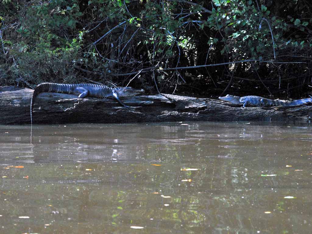
Look closely and you'll see a little alligator swimming in the water toward the left of the photo.

There are a ton of short tributaries off Mifflin Lake that can be paddled. This one had a bunch of lily pads.

Guess what was abundant up in Squirrel Bayou and eating acorns?

A grasshopper with an unusual body end that curls up.

A wide assortment of wildflowers were in bloom, including spider lilies, pickerel weed, and others. This photo is of Cardinal Flowers (Lobelia cardinalis).

This is a Swamp Leatherflower or what I call Blue Bells (Clematis crispa) and they were abundant. The Swamp Leatherflower has 3-leaves but don't confuse it with poison ivy.

There were a lot of cypress trees of respectable size like this one that I'm hiding behind. Though it looks big at 183 inches in circumference (DBH), the state champion bald cypress has a diameter almost twice as big (326 inches in circumference). 

Here is a view up the bald cypress. Do you see any poison ivy? Note how the leaf veins are situated on the leaves. Compare the leaf vein structure of this poison ivy to the three leaves of the Swamp Leatherflower. Wikipedia has a lot of good rhyming tips on identification of poison ivy.

Taking a break on the Tensaw River at a unofficial camp site. This would be a good destination for kayakers launching from Cliffs (4.25 miles one way), but not today. Al-Qaeda flies (terrorist like black flies) started swarming and biting me here and the persistent little (CENSORED) terrorized me the rest of the way back to the launch site.

Saw several Barred Owls on this trip. Also saw a few deer at various places but they were too quick for the camera.

The setting sun added a orange hue to the Spanish Moss.

This is what I call a full day kayak trip - from sunrise to sunset. Wonderful trip.

Thursday, August 18, 2011

08/18/2011 - Dominic Creek

Launch: Cliff's Landing off Highway 225 about 14 miles north of Spanish Fort
Launch Cost: Free
Destination: Exploratory paddle of lower Bottle Creek including Lower Fisher Lake and Dominic Creek including Alligator Lake.
Distance: 28 miles (round trip).
Paddle time: 9-1/2 hours
Weather: Slightly foggy at sunrise. Sunny. Paddled against tidal current going both upstream and downstream. Current ranged between 0.5 and 1.5 mph. No waves. No wind until later afternoon. Temperature was tolerable as most of the time was spent paddling in the shade.
GPS Track: To view or download the GPS track of this trip, Click Here.


Header image shows river houseboats lining the Tensaw River just south of Cliff's Landing.

Sunrise on the Tensaw River.

The I-65 bridges going across Middle River.

It was a treat to see Mayfly swarms in action along the banks of Middle River. Mayflies are also called One-Day Flies because in their adult state they only live about a day and their sole purpose in that day is mating.

I ate a few ripe Muscadine Grapes as they were growing wild all over the river banks.

Some of the green feathers are visible on this Green Heron.

Saw about a dozen blue tail skinks on this trip.

Dominic Creek is beautiful and eventually it gets shallow and log jammed.

This was an odd thing to see - someone had made sandbag dams across a couple of small tributaries off Dominic Creek.

A harmless water snake.

Do alligator hunters kill bigger alligators and discard the smaller ones or are these just natural deaths? It is a strange coincidence that Alligator hunting season just began and all of a sudden dead alligators are seen along the shorelines.

Thursday, October 08, 2009

10/08/2009 - Mifflin Lake

Launch: Cliff's Landing

1) Launch at Cliff's landing is on either of two cement boat ramps or the nearby wood docks. It's a free public launch area.

2) The trip up the Tensaw was tough because current was much swifter than normal. The hour I anticipated it to take to get to the entrance to Mifflin lake took two hours. Current ceases to be a problem once you enter Mifflin Lake which hosts cleaner water and more calmer conditions. Here is the I-65 bridge just above the entrance.

3) It was another one of those hot steamy days.

4) There are several small tributaries to explore in Mifflin Lake, some areas had lots of pollen residue floating on the water.

5) A trip into the Mobile-Tensaw River Delta isn't a trip unless you see some of the the local river dogs.

6) More River Dogs.

7) It was beautiful in Mifflin Lake. Didn't have time to go all the way up - it is a lengthy trip (12 miles one way) and I had gotten a late start.

8) I've seen this wildflower many times but could never get it identified. Finally found a photo of it and it's called Water-hoarhound or Bugle-weed (Lycopus rubellus) of the Mint family.
On the way back, due to the swift currents interacting with winds from the south, the Tensaw River which was calm on the way up got a little choppy. A photo just couldn't show what it was really like on the way back so below is a short clip of the fun I had for 45 minutes. For those with sit-in kayaks - ALWAYS take a spray skirt on this river because conditions can change quickly.

Sunday, October 29, 2006

10/29/2006 – Dennis Creek

Launch: Club paddle starting at Cliffs Landing in Baldwin County off Hwy 225. Launch Fee: Free. Route: North about 2.5 miles on the Tensaw River, then split right into Dennis Lake, then take the second tributary (Dennis Creek) to the right then back to the launch site. Distance: 11.2 miles round trip. Average Speed: 3.0 mph. Time: Approx 4 hrs. Pace: Leisurely. Weather: Just about perfect weather for kayaking.
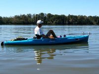
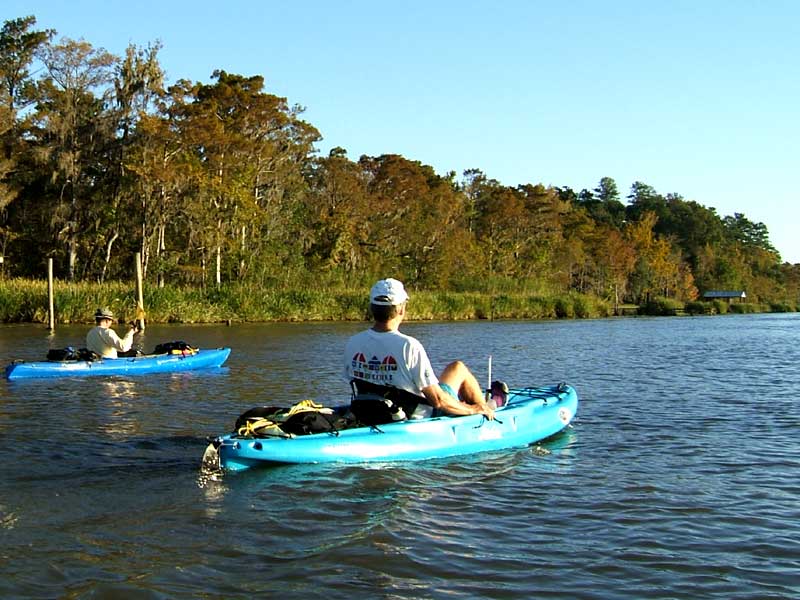
(1) Above left. Jan pedaling his new Hobie Outback on the slick waters of the Tensaw River as he passes close to some seagulls on a log. Jan was quite thrilled with the new kayak that allows you to work the leg muscles or the arm muscles. (2) Above right. Jan looks at an alligator on the river bank. The alligator saw us and slowly started to slither into the waters.
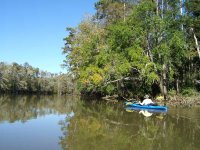
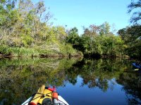
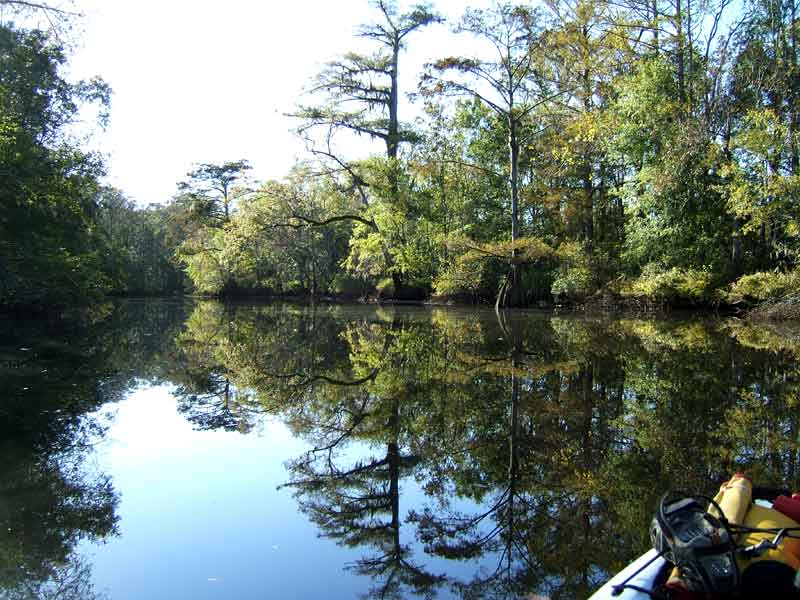
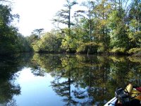
(3) Above left. David glides close to the shoreline in his paddle kayak. The pedal kayaks were limited to pedaling away from the banks to avoid hitting stumps with the underwater pedal boat flippers. (4) Above right. We enjoyed the slick waters that mirrored the deep greens that are soon to be gone until next spring.
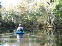
(5) Above left. Everyone got their turn to lead and enjoy the smooth scenery. Eventually pedal boats were forced to remove the pedal drive unit (it takes 20 seconds) and use paddles. (6) Above right. We took a short break and enjoyed some of Jan’s home grown satsumas while sitting on the bank in the narrow upper reaches of Dennis Creek. We had a deadline to keep in terms of turn around time in order to get back before dark, so it was back into the kayaks we went.
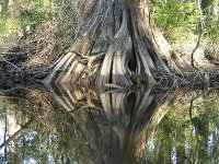
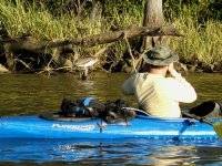
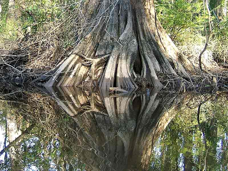
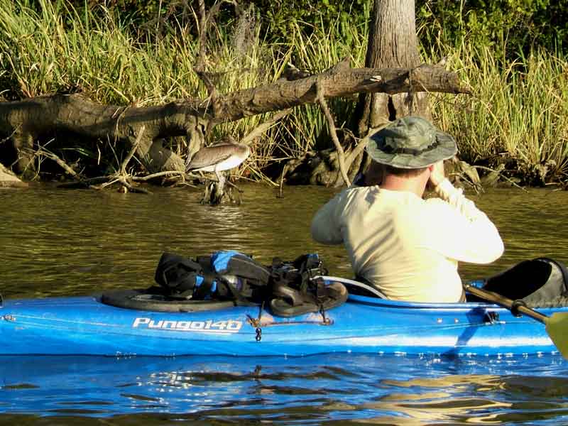
(7) Above left. The eerie bases of cypress trees looked back at us with sideways glances in the mirrored surfaces. Others say the bases remind them of harmonicas. What do you see when looking at this photo? Turn your head 90 degrees to the right and look again. (8) Above right. David takes a photo of the headless looking pelican. The pelican’s head, twisted 180 degrees, was tucked under its back wings and must have been in a deep sleep because it never moved as we passed closely by.
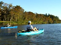
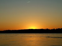
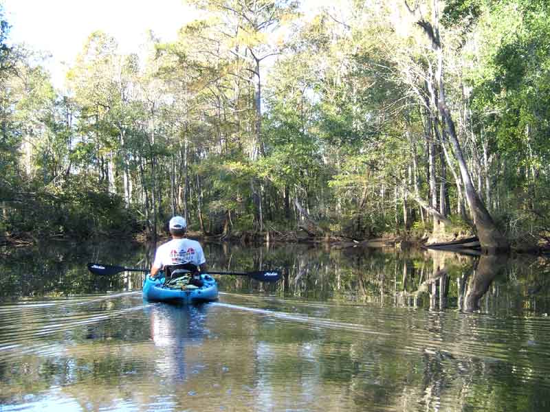
(9) Above left. David on the left, Jan on the right, on the open waters of the Tensaw River, headed back to the launch site. (10) Above right. We returned to the launch site and shortly after we got the kayaks loaded up, the sun set. What a nice ending to a enjoyable kayak trip.

Saturday, June 24, 2006

06/24/2006 – Dennis Creek Tributary

Launch: Cliffs in Baldwin County off Hwy 225. Fee: Free. Route: North about 2.5 miles on the Tensaw River, then split right into Dennis Lake, then about 2 miles to an unnamed tributary branching off to the left, then back to the launch site. Distance: 11.5 miles round trip. Average Speed: 2.5 mph. Time: Approx 4.5 hrs. Pace: Slow. Weather: Warm temps, partly cloudy early, then mostly cloudy. Tide low.
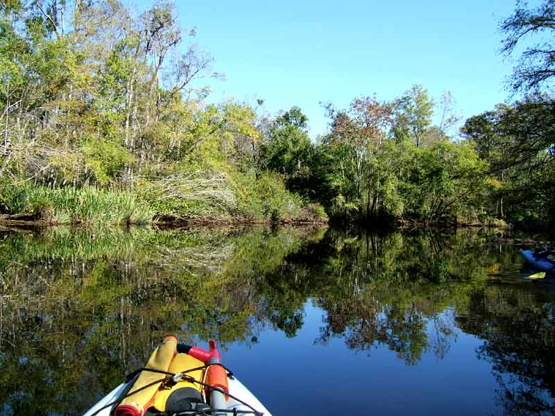
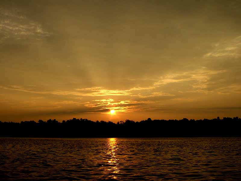
(1) Above left. An early morning start allowed me to experience another nice sunrise. (2) Above right. After the sun had finally risen over the tree tops, the sky turned a beautiful gold color.

(3) Above left. Nothing much to report on this paddle except for the high number of wasp nests clinging to branches in the trees and swarming yellow flies at the end of the tributaries. (4) Above right. Some trees appeared to be sad today. (Turn your head sideways to the left to see the sad looking tree).

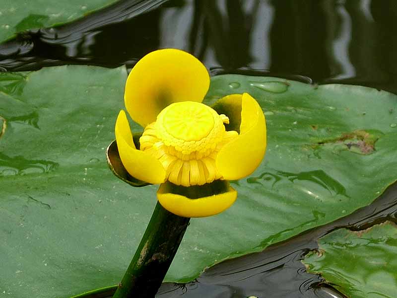
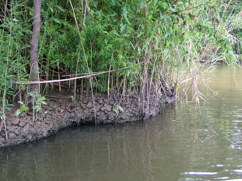
(5) Above left. Yellow pond lilies were out in large numbers along the Tensaw. (6) Above right. There were also signs of how dry it is around here by the dry, cracked soil. Going very slowly along the banks made this an enjoyable paddle.