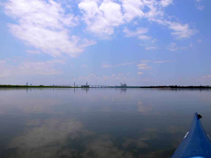
Launch: Public triple boat ramps in the middle of the Causeway on the North side.
Launch Cost: Free.
Route: Cross the Tensaw River, across Delvan Bay, up Spanish River, up Raft River to explore Big Bay John, back down Raft River, across Grand Bay, up Spanish River, down Mobile River, around Choctaw Point, and up the Tensaw River back to the launch site.
Distance: 32.8 miles.
Average Speed: 3.6 mph.
Time: Approx 10 hrs.
Pace: Leisurely.
Weather: Sunny & hot. Had decided to do the Mobile River loop at the end of exploring Big Bay John figuring it shouldn’t add too much time to the trip. I hadn’t anticipated the Mobile River current to be flowing up river during a falling tide. A tropical storm in the Gulf of Mexico along with an increasing flow of southerly wind was pushing water up Mobile Bay. This fact turned what I thought would be a quick trip down Mobile River into a much longer trip where I was fighting current and wind. But the payback was some nice surfing waves along Pinto Island and the Battleship where the kayak was reaching speeds over 8 mph.

 (1) Above left.
 Sunrise across Delvan Bay.
(2) Above right. Near the entrance to Raft River, conditions became foggy. This tree stump eerily stands out in the middle of the water with a near invisible background.
 (3) Above left.
 Incoming tide helped speed up the kayak. In areas of Raft River, fish appeared to be in a feeding frenzy with hundreds of them jumping into the air near the shore.
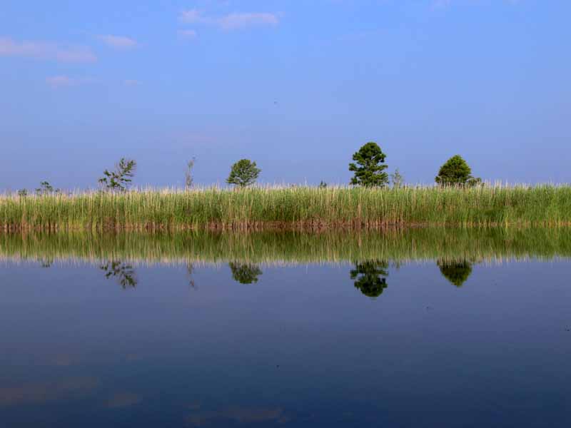
(4) Above right. Big Bay John was quite scenic with the still waters making beautiful reflections.

 (5) Above left.
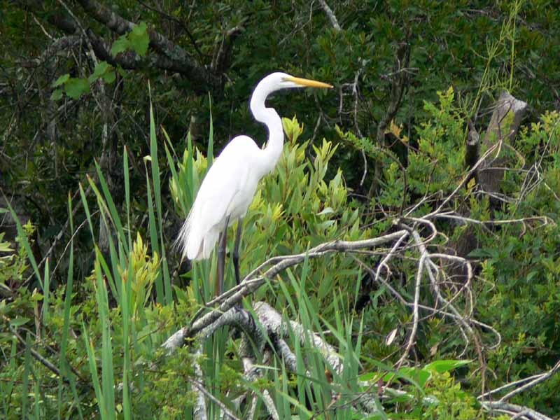
 There were numerous varieties of birds along the way.
(6) Above right. The greens and blues were absolutely mesmerizing today.

 (7) Above left.
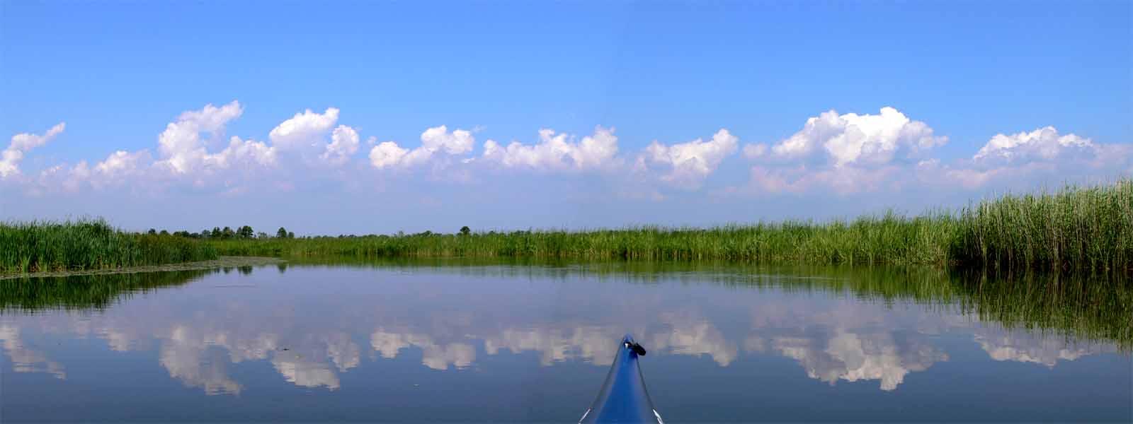
 Lily pads were more plentiful in the upper reaches of Big Bay John but because there were so many other things to see, one hardly noticed them.
(8) Above right. A photomerge taken in Big Bay John on my way back out to Raft River.

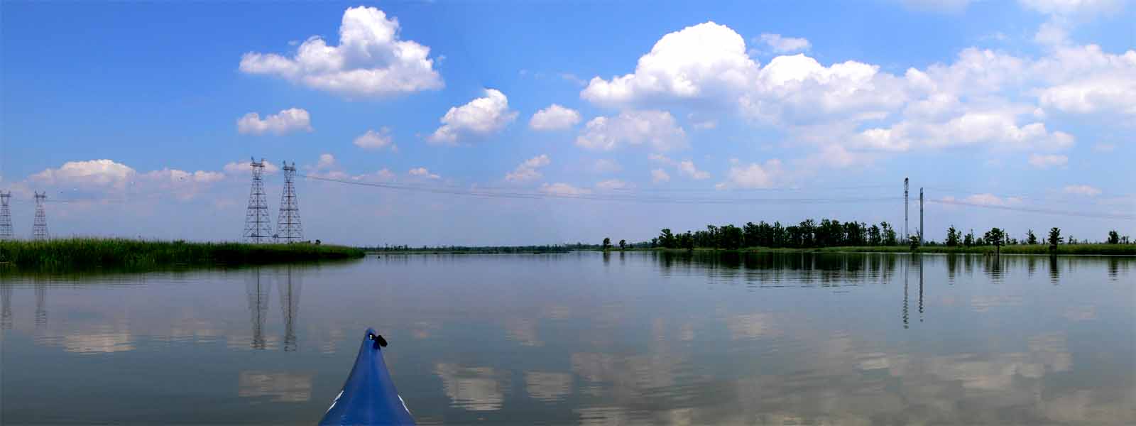
 (9) Above left.
 This photomerge, was taken at the north end of Spanish River near the entrance to Mobile River which is just beyond the two power pole towers.
(10) Above right. Conditions after entering Mobile River were quite favorable. Tide was just starting to go out and there was no wind. The waters were nice and slick. Why was my speed slow going down river though?
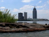
 (11) Above left.
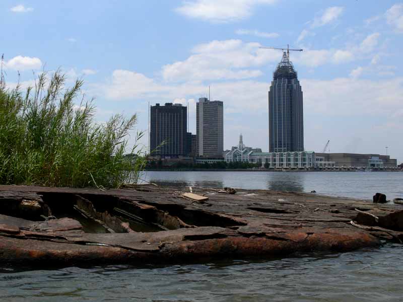
 Up goes the new RSA tower while an old barge deteriorates. Such is life – new eventually wears out and rots away. Enjoy the moment.
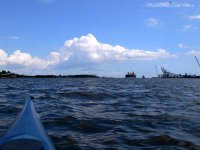
(12) Above right. By the time I neared Choctaw Point, the wind was really picking up and the current coming up river was getting stronger. Having paddled all day, it was no fun having to paddle so hard to go down river. In the photo (click on photos for larger view), you can see a big ship approaching the entrance to Mobile River.