Showing posts with label Big Bateau. Show all posts

Saturday, July 17, 2010

07/17/2010 - Conway Creek / Lower Crab Creek Loop

Launch: Mobile Causeway aka US Hwy 90 at the Triple boat ramps
Launch Cost: Free
Destination: Big Bateau, Maple Slough, Conway Creek, Lower Crab Creek
Distance: 16 miles (round trip)
Paddle time: 4-5 hours
Weather: Hot and Humid. Winds steady at about 15 mph until sunset.
GPS Track: To view or download the GPS track of this trip, Click Here.


Header Image

1) Winds were strong enough to frustratingly push the kayak across the grass flats every time I stopped to take a photo.

2) Finally sheltered from the winds, I noticed a new canal like cut through the vegetation at the mouth of Big Bateau Bay, probably created by air boat tour operators.

3) I had planned on paddling up Big Bateau Bay up to Maple Slough but ran out of open water. Tide was low and I didn't want to paddle across 1/2 mile of thick slime.

4) Turned around and went back to Conway Creek. This is a American Lotus leaf pad which serves as food to something.

5) Peek-a-boo in Little Bateau Bay.

6) A common Moorhen which is easily identified by the red frontal head with yellow tipped beak and ugly green legs with a red garter (stripe) at the top.

7) Sunset on a tributary to Little Bateau Bay.

8) Poaching is alive and well in the Mobile-Tensaw River Delta. Someone harvested the head and legs from this innocent alligator and left the rest of torso to rot in the water.

9) It was fun crossing Delvan Bay on the return trip in the dark. Although the winds had died down, there was still a rolling chop to paddle across. The planet Venus can be seen in the sky. A half moon helped light up the night.

10) Streetlights paint outlines of dancing color on the water. Night paddles are fun.

Saturday, March 07, 2009

03/07/2009 – Red Maple Slough Club Paddle

Launch: Public boat ramps on the Causeway.
Cost: Free
Distance: Approx 14 miles.
Route: Paddle across Chocalata Bay, around the outer perimeter of Big Bateau, and up into Red Maple Slough, then took the north cut to Conway Creek, south to Savage Ditch and back down Chocalata Bay.
Pace: Leisurely to Moderate on the way back.
Average Speed: 2.7 mph.
Weather: Sunny, 65 degrees, incoming tide, winds out of the south 10-15 mph.

Luckily no one showed up for the club paddle I was leading today because a Fish'n Fever Tackle Tournament was going on and there was almost no place to park. Did manage to find a parking place and went on the paddle anyway.

Header Image
1) White Ibis with the RSA building in the background.

2) Pelican cruising just inches from the water.

3) A healthy looking osprey eagle standing on its nest.

4) This is the time of year to see alligators soaking up the sun on the banks. Saw over a dozen alligators today including a bunch of young ones.

5) Red maples were the highlight of today’s trip.

6) Red maples were the highlight of today’s trip.

7) Saw quite a few Teal.

8) Conway Creek on the way back.

9) There were some interesting clouds getting in the way of the setting sun on Chocalata Bay.

10) Had to wear a spray skirt on the way back because steady 10-15 mph winds kicked up a little chop. Sunny skies and warmer temperatures made this a wonderful trip. Spider Lilies are starting to come out already. Spring is here!

Sunday, February 25, 2007

02/25/2007 – Red Maple Slough

Launch: North side of the Causeway at the old River Docs.
Launch Cost: Free.
Route: North through Big Bateau Bay to Red Maple Slough and then back via Conway Creek.
Distance: 8.6 miles round trip.
Average Speed: 2.8 mph.
Time: Approx 3 hrs.
Pace: Leisurely.
Weather: Sunny, temperature 75-80 degrees, winds were out of the west northwest 5-15 mph. Waters were high, tide was rising and there was no noticeable current.

1) This was a Mobile Bay Canoe and Kayak Club trip led by Harriet and Fritz. Despite the name, the only thing left at the River Docs launch site is a dirt parking lot.

2) Over a dozen kayakers were excited to start the trip on this nice warm sunny Spring-like day.

3) Two seagulls intently watch the parade of colorful kayaks float by.

4) The kayak parade as seen from the seagull’s perspective.

5) This was taken near the entrance of Conway Creek.

6) The group enters Big Bateau Bay.

7) Everyone takes a brief break on the west edge of Big Bateau Bay.

8) Fritz’s neon green shirt reflects brightly on the dark narrow waters of Red Maple Slough.

9) There was very little red in the red maple trees – it will be about another week before they are in full color. No one really cared though because they were enjoying the camaraderie with other kayakers on a beautiful spring day. Great trip!

10) Trip Track.

The February sunshine steeps your boughs and tints the buds and swells the leaves within. -William C. Bryant

Monday, February 27, 2006

02/27/2006 – Red Maple Slough

Launch: North side of Causeway by the triple public boat ramps. Launch Cost: Free. Route: Pedal northeast across Chacalloochee Bay, up Conway creek, across the Conway-Big Bateau cut, up Red Maple Slough, and back. Distance: 12.0 miles (counting detour). Average Speed: 3 mph. Time: Approx 4 hrs. Pace: Slow. Weather: Sunny, temp in the mid 50s, winds were calm at the start, then increased to a steady 10-12 mph from the south making for a chilly trip. Waters were low and tide was rising.

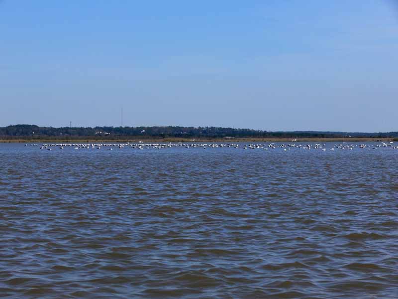
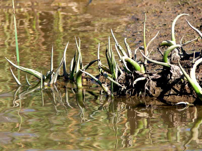
(1) Above left. The waters of the lower end of Chacalloochee (aka Chocalata) Bay were low enough for the birds to stand. Pedal boats are confined to using one small channel that is still hard to follow despite white pvc pipe markers. Once in Big Bateau, I had to turn around and go the long way up Conway Creek to get to Red Maple Slough because it was too shallow and I couldn’t remember where the deep water was. Pedal boats can be a handicap sometimes, but then again, even regular kayaks would have been scraping oyster shells today. (2) Above right. In Savage Ditch, there were green signs of warmer days soon to come. I’m starting to get excited about kayaking again!
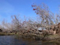
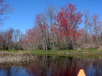
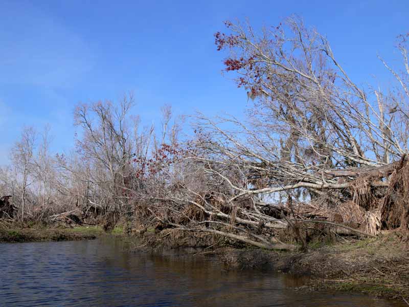
(3) Above left. Many of the trees in Red Maple Slough lay on their side showing a large but shallow root system that proved to be no match for last year’s hurricanes. If you look hard, you can see a little red on the tips of the mangled trees. It is still too early for the Red Maples to be in full display. (4) Above right. I took this photo on 3-23-2002 about a hundred yards before the photo on the left. Sadly, Red Maple Slough will never look like it does in this photo because it will be a long time before signs of the hurricane are eroded away.

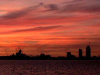
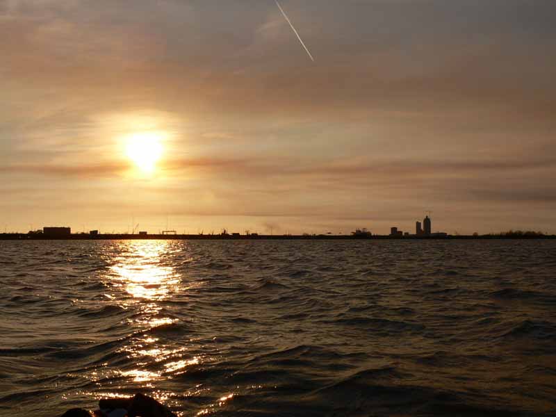
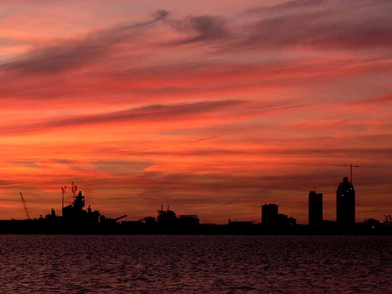
(5) Above left. After spending an hour going down Conway Creek fighting a headwind and opposing current, the setting sun provided no warmth as I pedaled southwest back across Chocalata Bay. A relentless bone chilling wind created a small chop that was hitting the kayak causing a spray to get my left side wet. (6) Above right. The dark horizon of the Mobile Skyline showing the current height of the new RSA building underneath the dyed sky made up of the setting sun, a mixture of clouds, jet trails, and smoke from fires. The sunset made me forget it was chilly out and I was still wearing shorts. Here is what the RSA tower (building on the far right) will look like when it is (finished). You can find photos of the construction of the RSA tower, from another perspective, here.
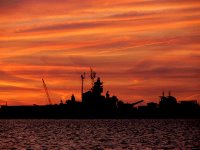
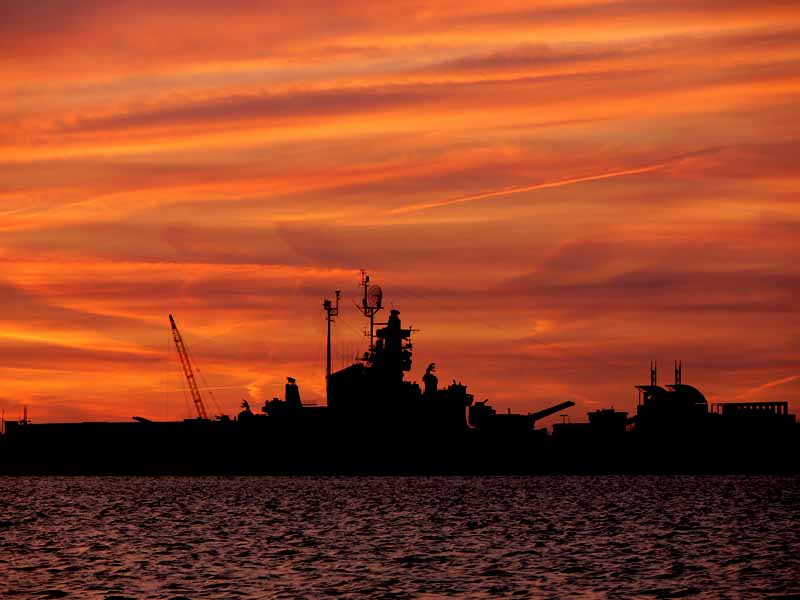
(7) Above left. The sunset featuring the battleship USS Alabama which is now back open for business. (8) Above right. The sunset featuring the huge Atlantic Marine and Alabama Shipyard cranes which are prominent fixtures on the Mobile Skyline. If you ever want to know what the Alabama Shipyard is building, click here for present and past shipyard history. According to the record, Alabama Shipyard last built a hopper dredge for Manson Construction. I love kayak trips that conclude with a sunset.

"When I admire the wonders of a sunset, my soul expands in the worship of the creator." --Mohandas Gandhi