Sunday, March 05, 2006

03/05/2006 – Dauphin Island

Launch: Southeast end of the island by the rock jetties. Launch Cost: Free. Route: South to the southern end of Sand Island (or as some people call it, Pelican Island), then along the north side of the island to the pier, then east along the south side of Dauphin Island back to the launch point. Distance: 9.6 miles. Average Speed: 3.0 mph. Time: Approx 3 hrs. Pace: Leisurely. Weather: Forecast said cloudy, but today it was bright and sunny all day, low humidity, winds calm, waves less than a foot, current normal, and temp was 60-65 degrees. This was a nice kayaking day for open waters!

(1) Above left. After leaving from the rock jetties just south of Fort Gaines, it took about 45 minutes to cross Pelican Bay to get to the south end of Sand Island. Then it is time to go shell hunting and take a few photos. (2) Above right. This is one of the few remaining mounds of green grass on the south end of Sand Island.
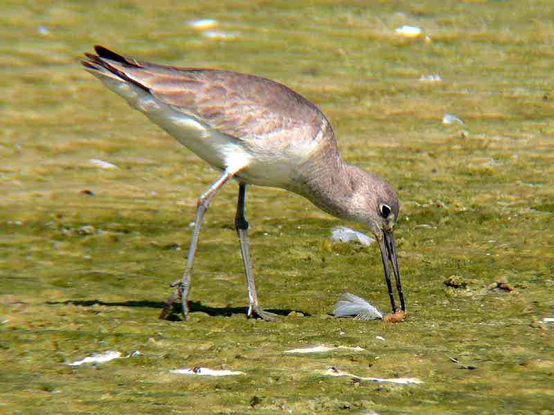
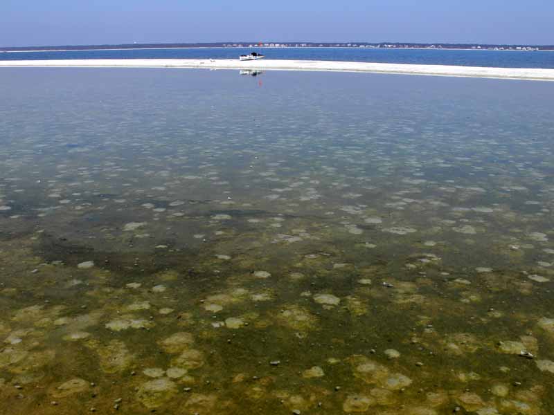
(3) Above left. The sandpiper is about to eat a worm or something. (4) Above right. I’m on Sand Island, my kayak can be seen on the white strip of sand, and barely visible in the horizon is Dauphin Island’s white water tower. The lighter looking patches are fresh sand pushed out from some creature’s tiny underwater home. Maybe it is those underwater creatures that sandpipers go digging for.

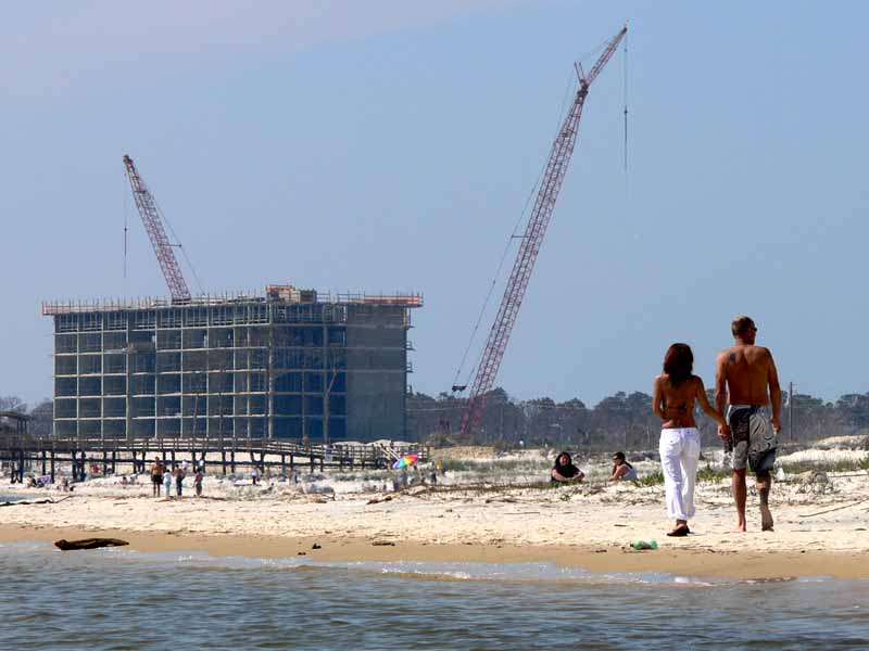
(5) Above left. Sand Island and Dauphin Island are so close now that courageous people are swimming across like these two teens. There are still no steps to get to Sand Island from the pier. (6) Above right. A couple walks hand in hand on this absolutely beautiful day. The condo site keep growing higher and higher. It looks like a boom in population for Dauphin Island in the near future. You can find interesting news concerning Dauphin Island at Dauphin Island Times, such as the problems associated with finding a 5 ton chunk of history under your island vacation home.
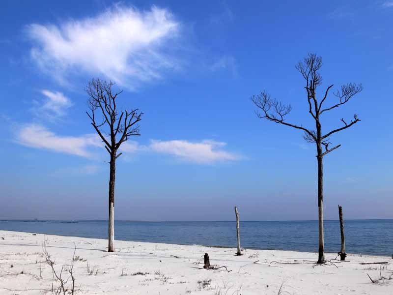
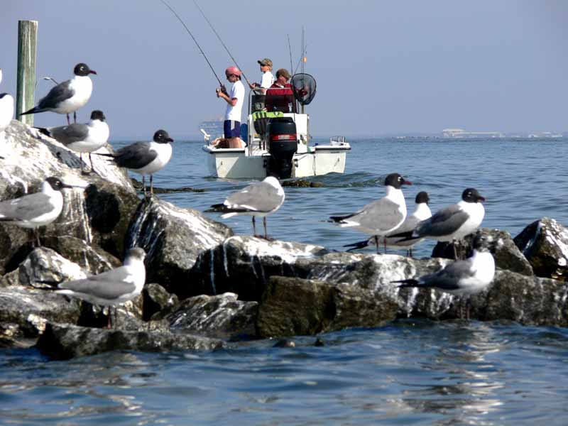
(7) Above left. This photo was taken on Dauphin Island and shows several trees that have fallen victim to past storms. (8) Above right. Back near the rock jetties, sea gulls coat the rocks with fresh fish food which attract fish, which in turn bring the fishermen into the area. Hmmm.

(9) Above left. My favorite bird to watch, a brown pelican, has taken a position of rest on the rocks away from the people on the beaches. Oh no, here comes a kayaker! (10) Above right. Yo Pelican, what’s with the long face? This kayaker won’t bother you. Smile for the camera. Darn, you forget to comb your hair. Too bad, I’m going to show your photo anyway.

(11) Above left. Many people kneel down on Sundays. Had you passed by Sand Island today, you may have seen me kneeling down. Why? I still have the curiosity of a kid. Have you ever wondered if a fly has a bladder? The beach fly in this photo looks like it is behaving like a dog. I learn something new every day. (12) Above right. Have you ever been in traffic and wished you had a vehicle like the black truck above? Fortunately, this is an optical oddity. The cannon is in the background on Fort Gaines. Dauphin Island is a great place to kayak.

Saturday, March 04, 2006

03/04/2006 – Mobile River

Launch: Public triple boat ramps in the middle of the Causeway on the North side. Launch Cost: Free. Route: Cross the Tensaw River, across Delvan Bay, up Spanish River, down Mobile River, around Choctaw Pass, and then back up to the Causeway via Tensaw River. Distance: 20.1 miles. Average Speed: 3.0 mph. Time: Approx 7 hrs. Pace: Moderate to Leisurely. Weather: 45-60 degrees with 15 to 25 mph winds from the north. Strong currents.

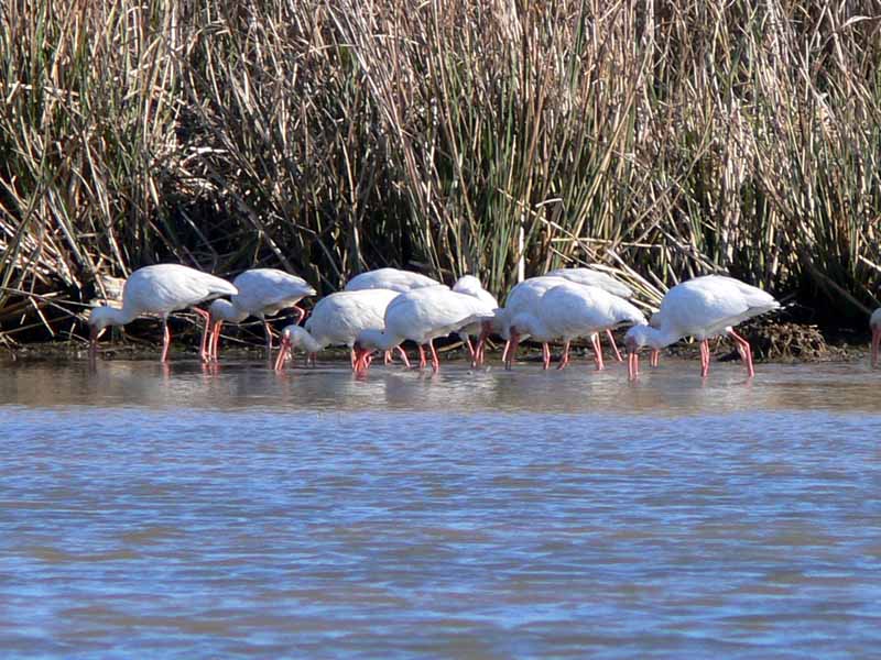
(1) Above left. The forecast: small craft advisory, 25 mph winds, temps in the low 40s, strong currents due to previous flooding up Mobile River. Good thing I came prepared to get wet. (2) Above right. Ibis on the alee side of the Spanish River, focused on filling their belly, were oblivious to the wind and current.

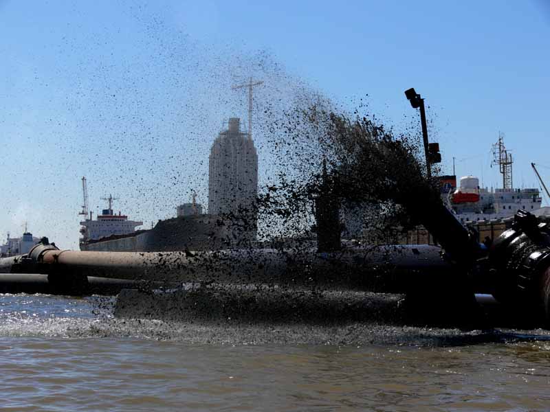
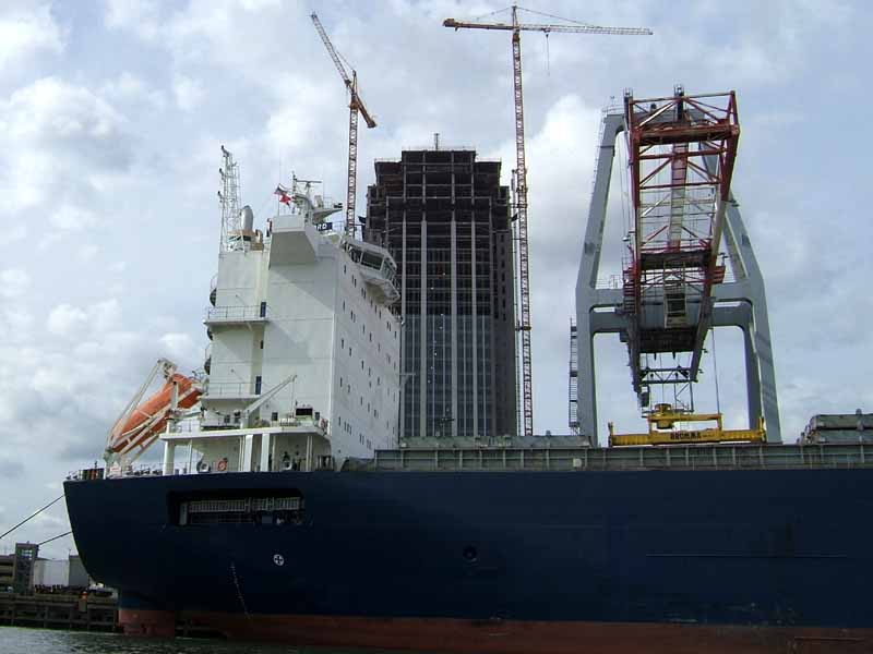
(3) Above left. A simple kayak trip down the Mobile River can lead one to geography research. Just where is Monrovia? Is Petrodvorets a place, product, or fictitious name? (4) Above right. Upriver from the dredge ship Ingenuity was a fountain of filth spewing from the dredge line back into the river.

(5) Above left. This is a photo taken of the Alabama State Docks crane back on 11-6-2005. (6) Above right. This is the crane today after a ship accidentally knocked it over. One person died in the accident.

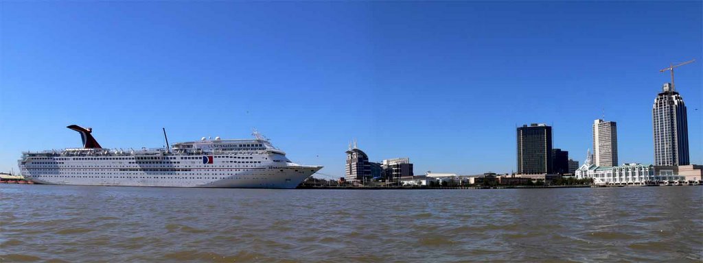
(7) Above left. A perspective photomerge of the Arthur R. Outlaw Convention Center. (8) Above right. Photomerge of the Mobile skyline.

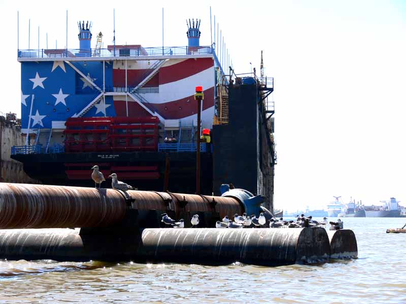
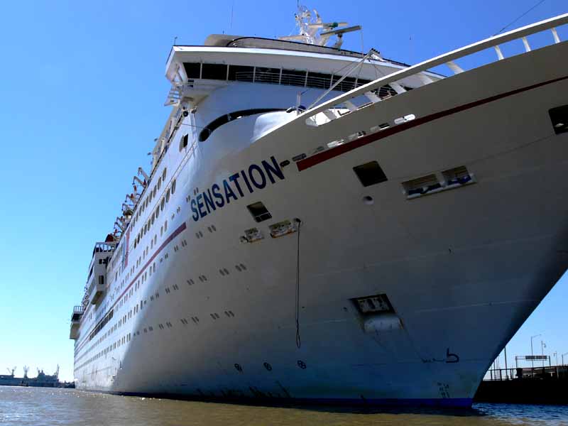
(9) Above left. The Belle of New Orleans Casino is being fixed here in Mobile after suffering damage from Hurricane Katrina. (10) Above right. This is what the Carnival cruise ship Sensation looks like from a kayak. The Sensation houses over two thousand guests and is almost 3 football fields long. The cruise ship Ecstasy was also docked off the Mobile River. Both the Sensation and Ecstacy cruise ships housed hurricane Katrina victims in New Orleans and are here in Mobile getting cleaned and repaired to go back into operation.

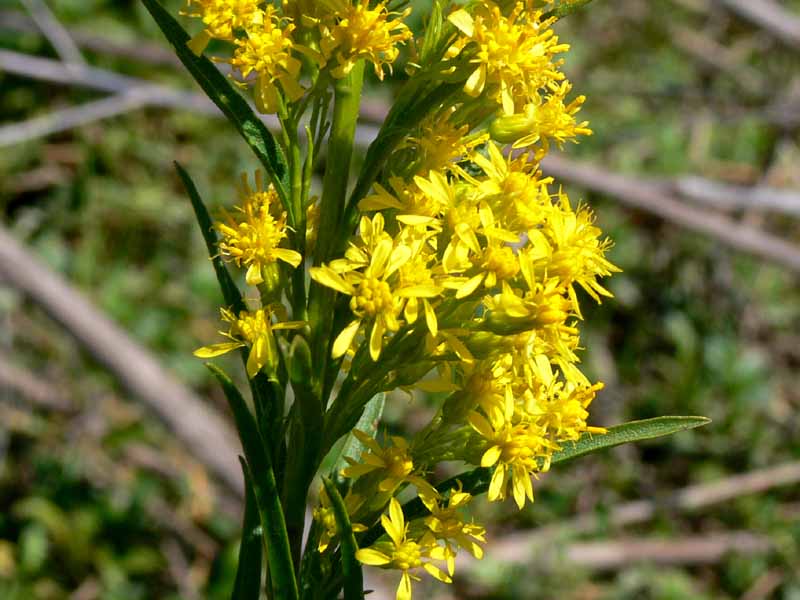
(11) Above left. The USS Drum near the Battleship USS Alabama. (12) Above right. On the way back, there were some wildflowers in bloom. Sometimes you have to stop and smell the flowers.

Monday, February 27, 2006

02/27/2006 – Red Maple Slough

Launch: North side of Causeway by the triple public boat ramps. Launch Cost: Free. Route: Pedal northeast across Chacalloochee Bay, up Conway creek, across the Conway-Big Bateau cut, up Red Maple Slough, and back. Distance: 12.0 miles (counting detour). Average Speed: 3 mph. Time: Approx 4 hrs. Pace: Slow. Weather: Sunny, temp in the mid 50s, winds were calm at the start, then increased to a steady 10-12 mph from the south making for a chilly trip. Waters were low and tide was rising.
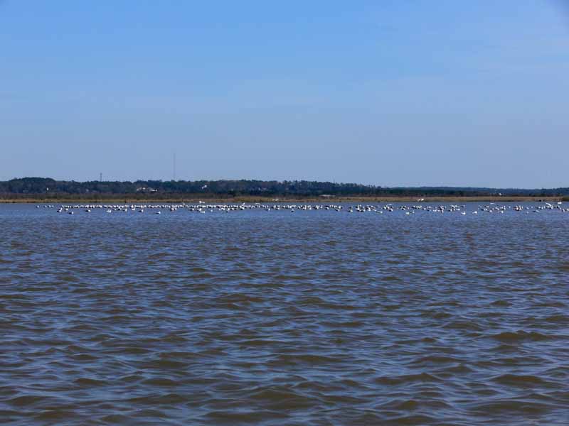
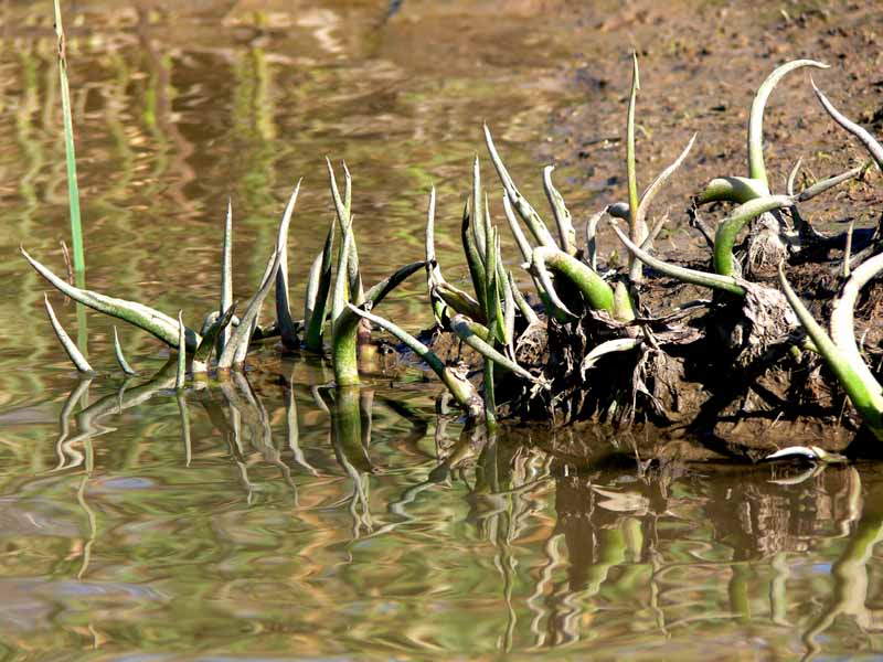
(1) Above left. The waters of the lower end of Chacalloochee (aka Chocalata) Bay were low enough for the birds to stand. Pedal boats are confined to using one small channel that is still hard to follow despite white pvc pipe markers. Once in Big Bateau, I had to turn around and go the long way up Conway Creek to get to Red Maple Slough because it was too shallow and I couldn’t remember where the deep water was. Pedal boats can be a handicap sometimes, but then again, even regular kayaks would have been scraping oyster shells today. (2) Above right. In Savage Ditch, there were green signs of warmer days soon to come. I’m starting to get excited about kayaking again!

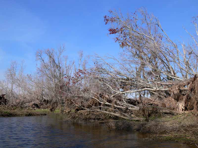
(3) Above left. Many of the trees in Red Maple Slough lay on their side showing a large but shallow root system that proved to be no match for last year’s hurricanes. If you look hard, you can see a little red on the tips of the mangled trees. It is still too early for the Red Maples to be in full display. (4) Above right. I took this photo on 3-23-2002 about a hundred yards before the photo on the left. Sadly, Red Maple Slough will never look like it does in this photo because it will be a long time before signs of the hurricane are eroded away.

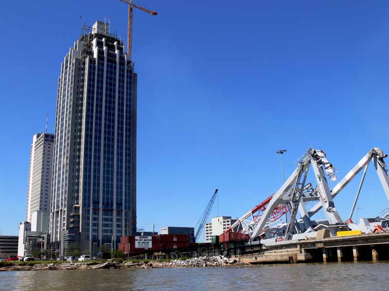
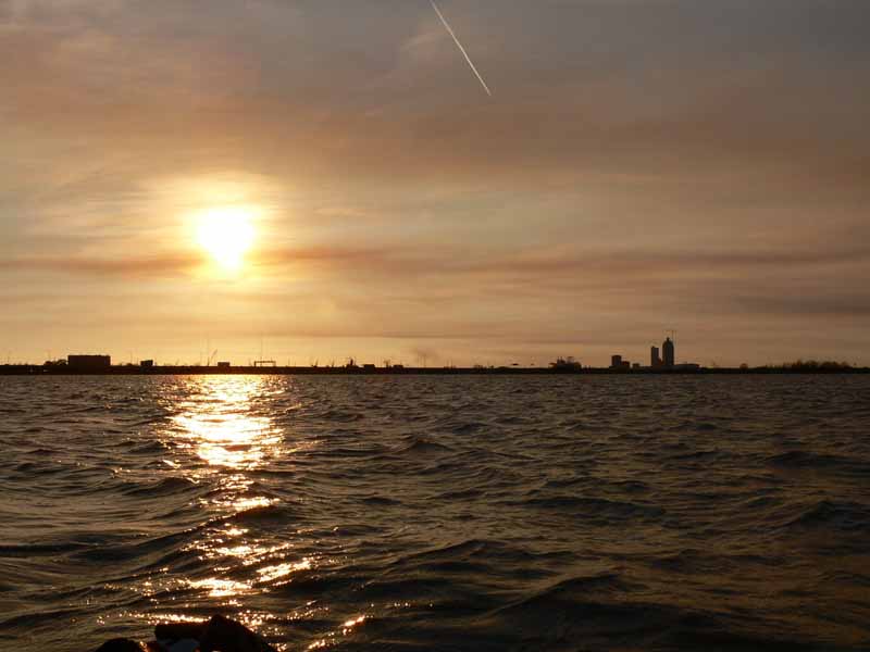
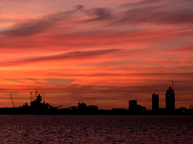
(5) Above left. After spending an hour going down Conway Creek fighting a headwind and opposing current, the setting sun provided no warmth as I pedaled southwest back across Chocalata Bay. A relentless bone chilling wind created a small chop that was hitting the kayak causing a spray to get my left side wet. (6) Above right. The dark horizon of the Mobile Skyline showing the current height of the new RSA building underneath the dyed sky made up of the setting sun, a mixture of clouds, jet trails, and smoke from fires. The sunset made me forget it was chilly out and I was still wearing shorts. Here is what the RSA tower (building on the far right) will look like when it is (finished). You can find photos of the construction of the RSA tower, from another perspective, here.

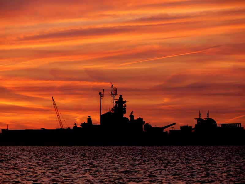
(7) Above left. The sunset featuring the battleship USS Alabama which is now back open for business. (8) Above right. The sunset featuring the huge Atlantic Marine and Alabama Shipyard cranes which are prominent fixtures on the Mobile Skyline. If you ever want to know what the Alabama Shipyard is building, click here for present and past shipyard history. According to the record, Alabama Shipyard last built a hopper dredge for Manson Construction. I love kayak trips that conclude with a sunset.

"When I admire the wonders of a sunset, my soul expands in the worship of the creator." --Mohandas Gandhi

Sunday, February 05, 2006

02/05/2006 – Dauphin Island

Launch: Southeast end of Dauphin Island by the rock jetties. Launch Cost: Free. Route: South to the far end of Sand Island, then northwest along the north side of Sand Island to the public beach, then east along the south side of Dauphin Island back to the rock jetties. Distance: 9.2 miles. Average Speed: 2.9 mph. Time: Approx 3 hrs. Pace: Moderate. Weather: Sunny, temp 50-55 degrees, 20 percent humidity, winds light about 5-10 mph. By the rock jetties, there was stronger than usual current. It was a bit chilly, but with a pedal kayak, exercise will soon warm you up.

(1) Above left. I only saw one motor boat in five hours today. Saw no dolphins. There were however, plenty of birds, like usual. After arriving at Sand Island, I got out of the kayak and hiked around to take photos of birds, like the gulls in the left photo. The end of Dauphin Island (Fort Gaines) is visible on the left horizon. (2) Above right. Pelicans were out in force. What a beautiful bird.

(3)(4) Above left and right. The Sanderling on the left is about half the size of the birds on the right. I think they are some species of sandpipers. If you know what they are, leave a comment. Thanks.

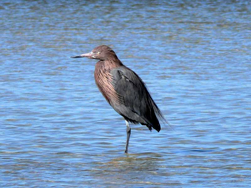
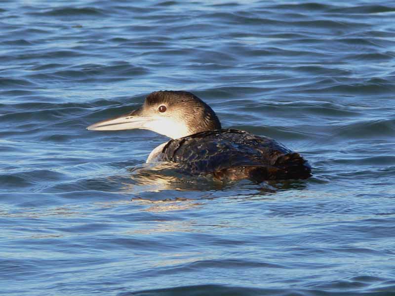
(5) Above left. This bird looks like a reddish egret. (6) Above right. Not sure what this duck like bird was. It had the capacity to swim under water and stay down for a long, long time. This one accidentally popped up next to the kayak and froze in astonishment just long enough to take a photo. It must have never seen a pedal kayak before.

(7) Above left. Taken was near the north end of Sand Island. There is another condo going up. (8) Above right. A heron patiently waits for a handout from the fisherman on the pier. This was taken from the west side of the pier looking southeast. Sand is visible around the back piles. That is how close Sand Island is now.

(9) Above left. Recent winds created some interesting terrain, from the perspective of being on your elbows. This reminded me of a scene from another planet. (10) Above right. I don’t remember seeing a wall of sand on the northwest side of Sand Island in the past, but it is there now. This shot was taken from about knee level.

(11) Above left. The best way to end a kayak trip is by experiencing a sunset. Here, a great heron crossed its legs in an apparent pose. (12) Above right. There is no mistaking the outline of a tern. Kayaking just doesn’t get any better than this. Football? Nah, I’d rather be kayaking!

Sunday, January 29, 2006

01/29/2006 – Chickasaw Creek

Launch: Tucker’s Launch aka Brooks Park. The office appears to be abandoned, succumbing to the high water surges from last year’s hurricanes. Launch Cost: Free. Route: East on Chickasaw Creek, then about 1.5 miles into the Pumphouse Canal and back. Distance: 5.0 miles. Average Speed: 2.5 mph. Time: Approx 2 hrs. Pace: Slow. Weather: 60 degrees, mostly cloudy, slight wind, relatively little change in tide and almost no current.

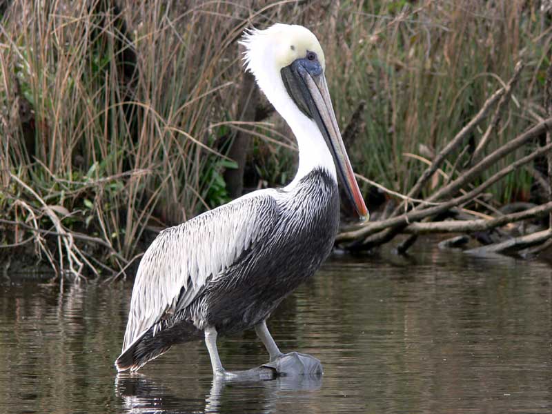
(1) Above left. Today was another one of those dark, cloudy, dreary winter days, but not very cold. This pelican was eyeballing the human in the boat with no motor. (2) Above right. While passing the Chickasaw marine industrial area, a barge with no shame kept on leaking.

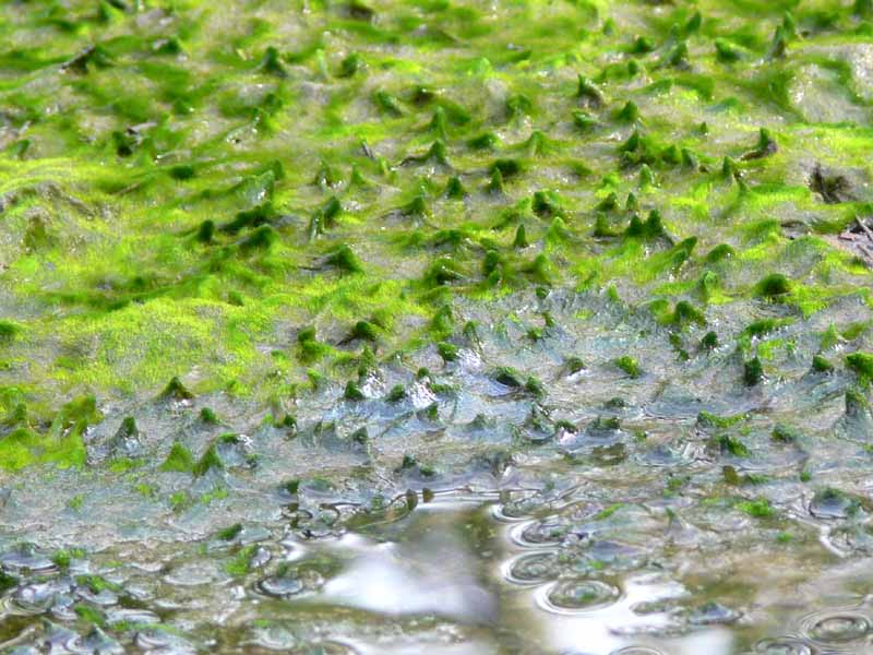
(3) Above left. Up in a little slough, it looked like the algae were having a bad hair day. (4) Above right. This mushroom, spreading out its wings, looked like a good texture photo. If you want to see some awesome photos of mushrooms, check out Taylor Lockwood’s mushroom photos.

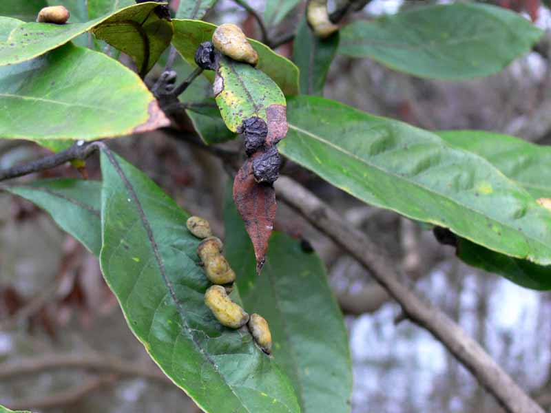
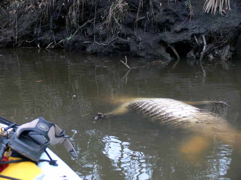
(5) Above left. In the Pumphouse Canal, one tree looked unusual. Upon closer inspection, what appeared as buds from a distance, were actually leaf galls. To learn more about leaf galls, check out Wayne’s Word. (6) Above right. Kayaking in the Pumphouse Canal always puts me on edge. If it isn’t the insects, it is the critters, however, this one was not moving.

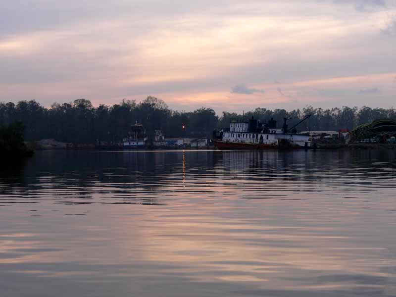
(7) Above left. While in the Pumphouse Canal, the mosquitoes were having a field day with my blood. Next time I’ll bring some repellent! Here, upon exiting the Canal, the sky started changing colors. I thought this was the sunset. Wrong! Sadly, while driving home after loading up the kayak, the real sunset started to display some beautiful colors that lasted for 20 minutes. Sure wish I’d been on the water during that display. (8) Above right. This is where the LST-325 used to be. If you want to see the LST-325 now, you’ll have to go to Evansville, Indiana.

(9) Above left. Up in Black Bayou, some of the bare trees were loaded down with Cormorants or Anhingas. (10) Above right. This woodpecker was noisily looking for food while there were a few moments of light left in the day.

Note: The last time I went down Chickasaw Creek, there was green water bubbling up that smelled like raw sewage. I thought a sewage pipe might have been broken. To update, there is a sewage disposal site just south of the creek. There was green flow from the pipe today, just like in the past and apparently that is normal. However, today, there was no smell of sewage in the air. Ahhh.