Sunday, May 21, 2006

05/21/2006 – Mobile Bay Double Crosser

Launch: Southeast end of Dauphin Island by the rock jetties. Launch Cost: Free. Route: Southeast about 3.5 miles across the Mobile Bay to Fort Morgan, break, then southwest about 4 miles back across Mobile to Sand Island, break, then along the north side of Sand Island, then east along the south side of Dauphin Island back to the launch site. Distance: 17.3 miles. Average Speed: 3.3 mph. Time: Approx 6 hrs. Pace: Leisurely. Weather: Sunny and warm, minimal wind and current. Type kayak: Pedal. I like using a stable pedal kayak in open waters. The 34” wide Hobie Outback is quite stable.

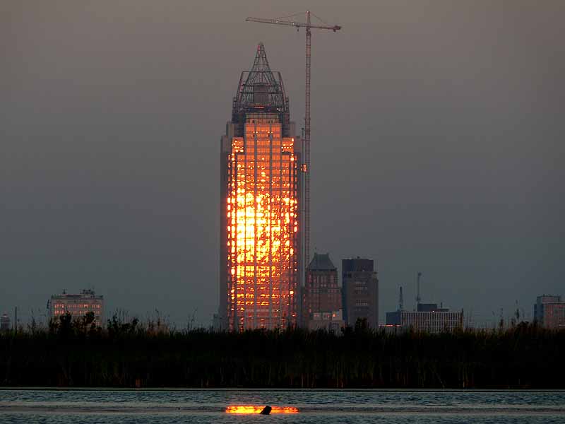
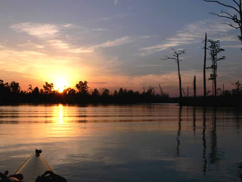
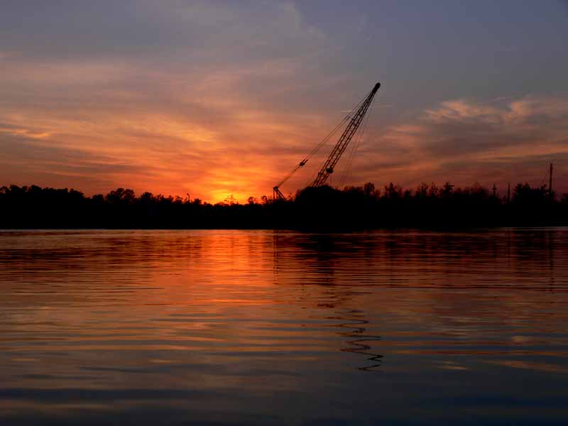
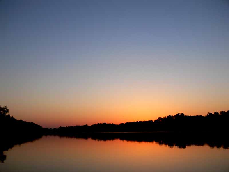
(1) Above left. An early morning launch meant getting to enjoy watching the sunrise from the middle of Mobile Bay. (2) Above right. You can see Dauphin Island in the background from this break spot on Fort Morgan Beach.

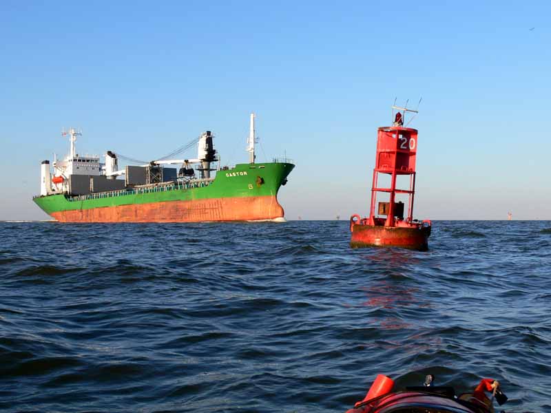
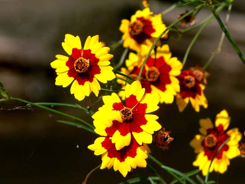
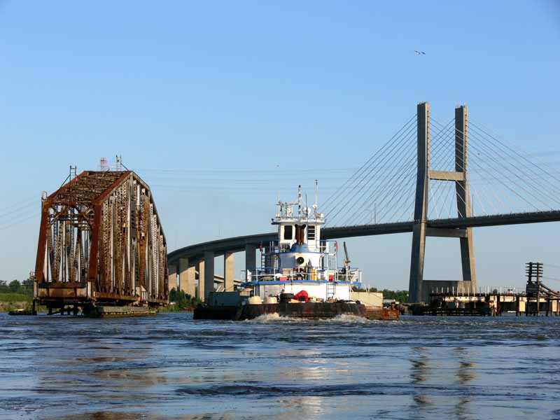
(3) Above left. These are spiderwort flowers growing in the sand on Fort Morgan beach. (4) Above right. Crossing the ship channel twice gives you double opportunity to catch sighting of huge ships. Beware! Big ships can move surprisingly fast.

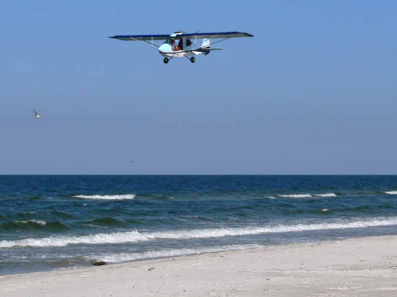
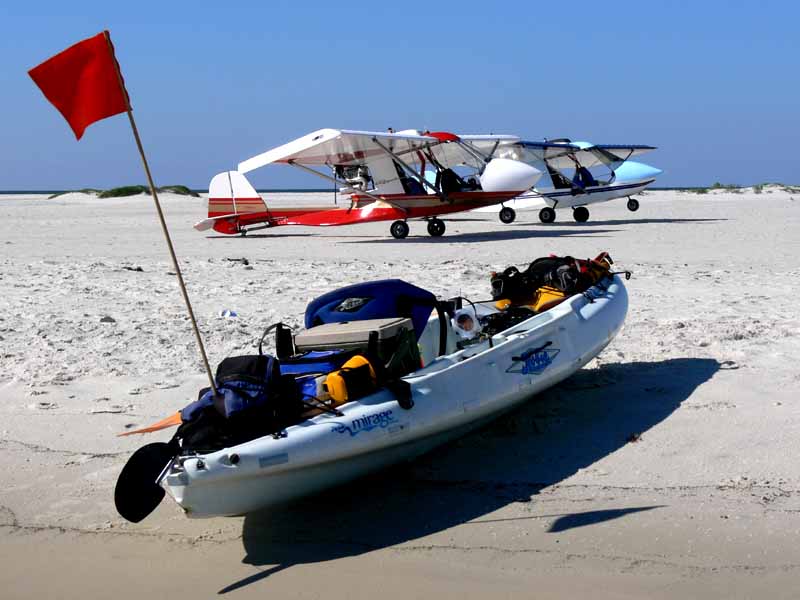
(5) Above left. While shell hunting on Sand Island, a couple of ultra-light pilots flew in from the St. Elmo airport and landed. I got to learn quite a bit about the relatively safe planes. (6) Above right. Check out all the high-tech toys. While the thought of flying is luring, I think cruising on the water is more fun.

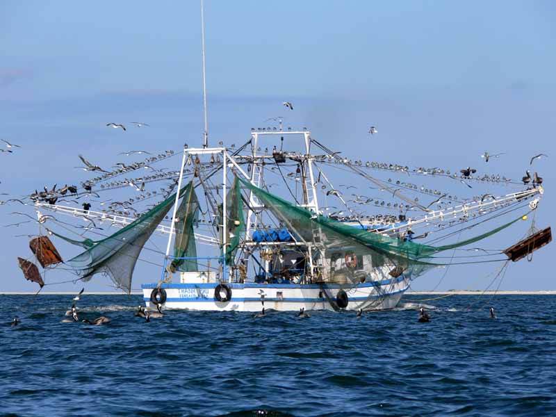
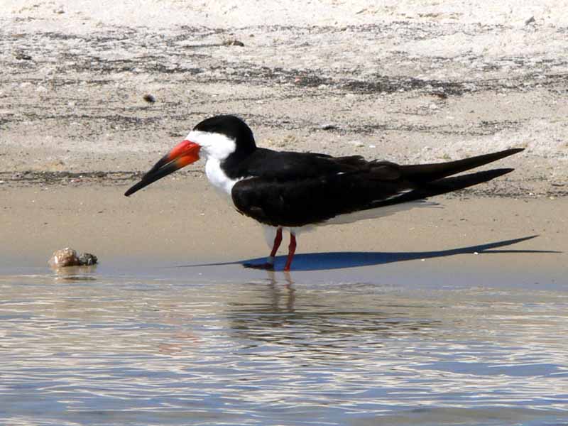
(7) Above left. As usual, after the Blessing of the Fleet, you can look forward to seeing one or more shrimp boats in Pelican Bay. (8) Above right. A lot of black skimmer birds can now be seen along the beaches of Sand Island.

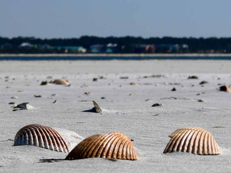
(9) Above left. This is the shell game. Which shell is the hermit crab hiding under? (10) Above right. It may be difficult to see in this photo, but there is green growth coming out of the middle branch on the dead looking shrub on the left. I’m thinking that if Dauphin Island wants to improve its ability to withstand storms, there needs to be some major planting of trees along the beaches to replace those trees that have succumb to past storms.

Saturday, May 20, 2006

05/20/2006 – Mobile River

Launch: Public triple boat ramps in the middle of the Causeway on the North side. Launch Cost: Free. Route: Cross the Tensaw River, across Delvan Bay, up Spanish River, down Mobile River, around Choctaw Pass, and then back up to the Causeway via Tensaw River. I also explored a few miles up Three Mile Creek. Distance: 27.3 miles. Average Speed: 3.6 mph. Time: Approx 8 hrs. Pace: Leisurely. Weather: Sunny & Warm. Today I wanted to test out the Hobie Turbo Flippers on the Outback. They worked pretty well.

(1) Above left. I’ve experienced a lot of sunrises from the water, but today was my first RSA tower reflection sunrise. It was quite beautiful. (2) Above right. Headed south on Mobile River, about 2 miles north of the Cochran bridge. The yellow objects are plastic floats on dredging pipe.

(3) Above left. A swallow eyeing me cautiously as I paddled under the Telegraph Road bridge while exploring Three Mile Creek. As much bad press as Three Mile Creek has received, I was impressed with how clean it was and the amount of wildlife in terms of birds, flowers, and alligators that were present. (4) Above right. Escape wildflowers growing on the banks of Three Mile Creek. After going 2 miles up Three Mile Creek to about Conception Street, I give it a thumbs up and look forward to exploring it again.

(5) Above right. Now, if you want to talk ugly, check out this photo of the bank on Industrial Canal. Where this mountain of autos go from here is anyone’s guess. (6) Above right. Down at the entrance to Mobile River, inside Little Sand Island, you can see another once valuable product, rotting away.

(7) Above left. Over near the State Docks, a lone worker was painting the outside hull of a docked ship. (8) Above right. The Niagara Prince, docked near Cooper Park, is a long way from home. The unique building behind it is the Mobile Government Plaza.

(9) Above left. The Mobile skyline is really becoming quite impressive, especially from the perspective of a kayak. (10) Above right. A couple enjoys the skyline and big river traffic as they fish near Little Sand Island at the entrance to Mobile River. The RSA building is about 2.5 miles away in this photo.

Sunday, May 14, 2006

05/14/2006 - Big Briar Creek

Launch: Brynes Lake in Baldwin County off Highway 225. Launch Cost: Free. Route: West out Brynes Lake, across the Tensaw River to Gravine Island Sandbar for a break. Then northwest toward Mobile River, then north into Big Briar Creek up to the first tributary to the right. Explored that tributary then went north up to Little Briar Creek which was blocked by a log jam. Explored a few tributaries up by the railroad tracks, then returned to Brynes Lake. Distance: 27.3 miles round trip. Average Speed: 3.6 mph. Time: Approx 7.5 hrs. Pace: Leisurely to moderate. Weather: 70-90 degrees, sunny to partly cloudy in the afternoon. Kayak: Today I tested out the Hobie Mirage Adventure using Turbo Flippers and have come to the conclusion that I like my Outback better than the Adventure.

(1) Above left. Typical view in the upper ends of the Big Briar Creek tributaries. (2) Above right. One of the tributaries was blocked by the Hideway river shack. Nice little place.

(3)(4) Above left and right. Flowers were abundant. Both of the above photos are of the Water Willow flower, aka Justicia americana, noted for its 2 stamens.

(5) Above left. A Prothonotary warbler had a caterpillar in a death grip. (6) Above right. The lubber grasshoppers are out in force again. Too bad they don’t eat some of the invasive species of weeds that are clogging up the waterways.

(7) Above left. Honey bees were hard at work in the patches of water primrose flowers. This bee was carrying quite a load. (8) Above right. While gliding silently along the quiet backwaters of an upper creek tributary, I noticed a yellow crowned night heron perched over head near its nest watching my every move. It remained eerily still, not blinking an eye as I passed closely by.

(9) Above left. Some caterpillars gorging themselves on what I think was iris leaves. (10) Above right. On the way back to Brynes Lake, the marine police were out in force keeping the party on Gravine Island from getting out of hand.

Saturday, May 13, 2006

05/13/2006 - Chickasaw Creek

Launch: Tucker’s Launch on the southwest corner of US 43 at Chickasaw Creek. Launch Cost: $3. Route: Southeast down Chickasaw Creek to Mobile River and then back. Distance: 8.1 miles. Average Speed: 4.1 mph. Time: Approx 2 hrs. Pace: Fast. Weather: Sunny and warm.

Since my morning paddle turned into a disaster, I decided to try out the Hobie Adventure again for an evening sunset paddle trying out the new turbo flipper fins. 4.1 mph was a pretty impressive average speed considering I was slowing down and stopping in some instances to take photos.

(1) Above left. A barge turning into the Mobile River from Chickasaw Creek – a narrow passage in tricky current. This tugboat pilot did it perfectly. (2) Above right. Experiencing sunsets from the water makes me feel more alive.

(3)(4) Above left and right. Here are two more sunset photos from Chickasaw Creek. I love sunrises and sunsets, but, you probably know that by now. :)

05/13/2006 - McIntosh

Launch: Olin public boat landing in Mcintosh, AL in Washington County off US 43. Launch Cost: Free. Route: Across the Tombigbee to Three Rivers Lake and back. Distance: 15.1 miles round trip. Average Speed: 3.2 mph. Time: Approx 5 hrs. Pace: Hard going upstream, easy going down. Weather: Sunny and warm.

(1) Above left. It was a perfect morning sunrise and the waters of the Tombigbee looked innocent and inviting. (2) Above right. I made one mistake in planning this trip to explore Three Rivers Lake area – I neglected to look at the river levels - it hadn’t rained in several days. Should have known - the rains were torrential further up in the state. Once on the river, it was obvious that the river level was 5-10 feet higher than normal. All the sandbars were under water and the current was flowing at a swift 3-4 mph.

(3) Above left. I fought the current for about 3 hours to go 4 miles upstream to finally arrive at the willow tree entrance to Three Rivers Lake. It is one thing to go upstream into current and turn around to go back. It is another to be pulled into a creek with a 3-4 mph current. Without knowing what the river conditions were going to do (it could get worse), I chose not to explore the Three Rivers Lake. (4) Above right. When areas get flooded, insects and spiders have no choice but to share cramped living quarters.


(5) Above left. On the return trip, you could see just how fast the volume of water was flowing when passing by the many river buoys. (6) Above right. When I got back near the launch site, the current was really ripping which allowed me to paddle at 8-9 mph downstream along with the stream of tree debris. Next time I’ll look at the river levels before going into the upper delta so as to avoid tough currents like this.

Sunday, May 07, 2006

05/07/2006 – Bayou La Batre Blessing of the Fleet

Launch: Public boat ramps in Bayou La Batre. Launch Cost: Free. Route: Up and down Bayou La Batre a few times. Distance: 23 miles. Average Speed: 2.7 mph. Time: Approx 9 hrs. Pace: Leisurely. Weather: 70-80s, cloudy in the morning to sunny afternoon, one small rain shower, minimal current.

(1) Above left. I spent all day pedaling up and down Bayou La Batre with my decorated kayak and was left with mixed feelings. As usual, the waterway was a trash dump. (2) Above right. To make matters worse, at times it felt like paddling through a gas station because of all the petroleum fumes from oil sheens. I saw people swimming in this water today.

(2) Above left. A morning shower sent me scurrying under a bridge where some swallows pretended to hide in their mud nests built under the bridge. (3) Above right. There were some pretty wild flowers growing along the banks of Bayou La Batre.

(5) Above left. As soon as the sun came out, the boats for the Blessing of the Fleet started congregating. Party Time! (6) Above right. As the party continued on, the Archbishop continued on with the traditional Blessing of the Fleet, this being the 57th year of celebration.

(7) Above left. A group of boaters looks at the ceremonial wreath. (8) Above right. Then comes the boat parade which was rather slim this year. Very few shrimp boats participate anymore. The boat parade seems to be mostly recreational boaters now, along with one pedal kayak.

(9)(10) Above left and right. I feel very blessed for being able to enjoy another beautiful sunset.

(11)(12) Above left and right. A couple more photos of the sunset - Life is good!