
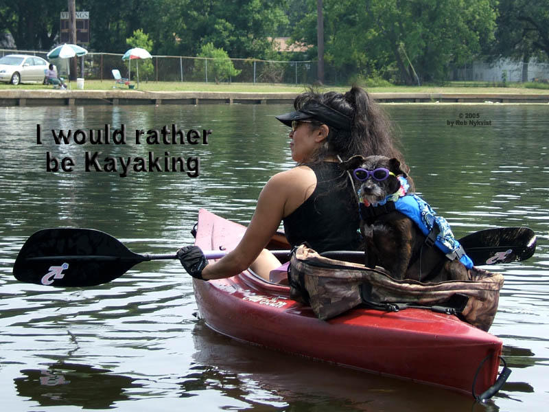
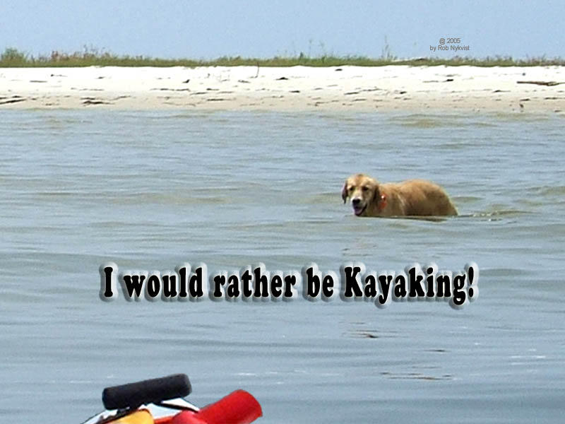
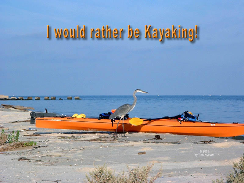
I have not kayaked around the Dauphin Island area since the beginning of July - over a month ago. You'll never guess who was excited to see me back in the Hobie Outback that uses flippers for power...
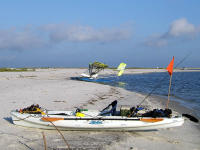
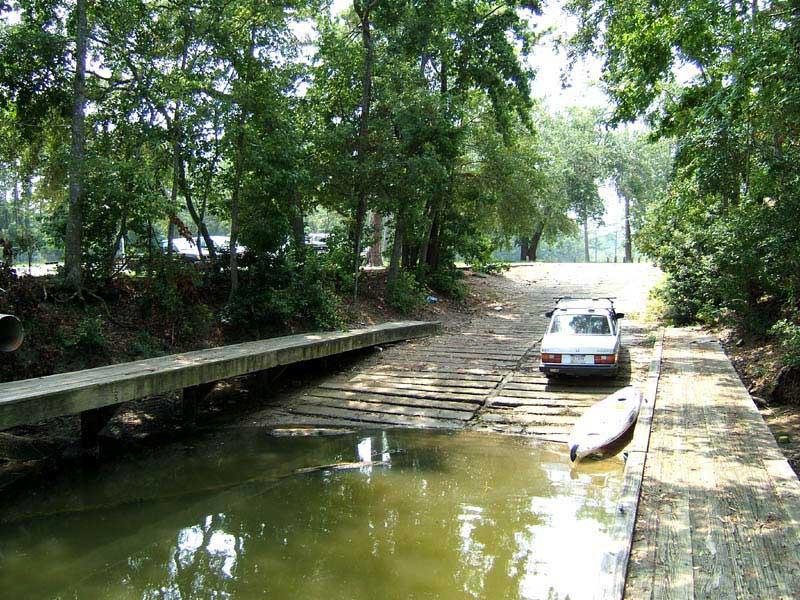
Launch: Southeast end of Dauphin Island by the rock jetties (see below photo).
Launch Cost: Free.
Route: Across Pelican Bay to Sand Island, back to Dauphin Island, across Mobile Bay to Fort Morgan and back.
Distance: 20.2 miles.
Average Speed: 3.0 mph.
Time: Approx 7 hrs.
Pace: Leisurely.
Weather: Mostly sunny with rain storms that would form and quickly dissipate.
 (1) Above left.
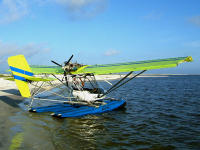
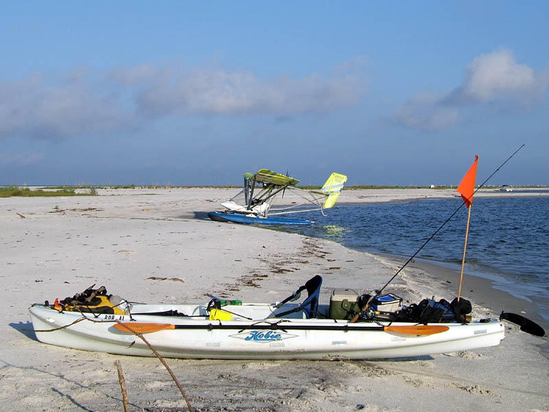
 This is a photo of two high tech water toys. Personally, I find the Outback more exciting than the Ultralight. This Ultralight, built by M-squared, a local company out of St. Elmo, according to the pilot, costs about $50,000. The engine alone costs $20,000. The pilot had flown from Fowl River to Sand Island to Fly fish (no pun intended). He really did have a fly fishing rod with him. Fishing was lousy.
(2) Above right. The pilot was tinkering with some instruments before cranking up the engine. He then flew off in the direction of Horn Island. When it comes to kayaking in the vicinity of Dauphin Island and Sand Island, there is no telling who or what you run into. Every kayaking trip presents a new adventure.
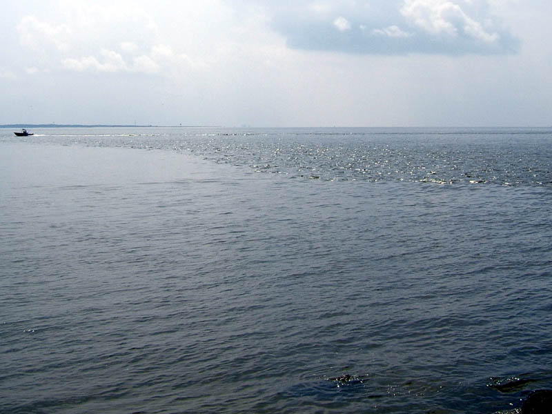
 (3) Above left.
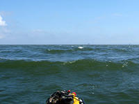
 Fishing was lousy between Sand Island and the Lighthouse so I went back to the car on Dauphin Island, dropped off the fishing gear and picked up the sail. The lack of clouds looked inviting to cross Mobile Bay, the tides were in my favor, and I’ve never sailed across Mobile Bay. So I put out the sail and started heading across the Bay. It wasn’t long before the winds kicked up due to a storm forming south of Dauphin Island. Winds, combined with some swift currents, provided for less than optimum sailing conditions as shown in the photo. Seeing that it wouldn’t be long before I tipped over, I hauled in the sail and due to the forming storm, headed back toward the launch site.
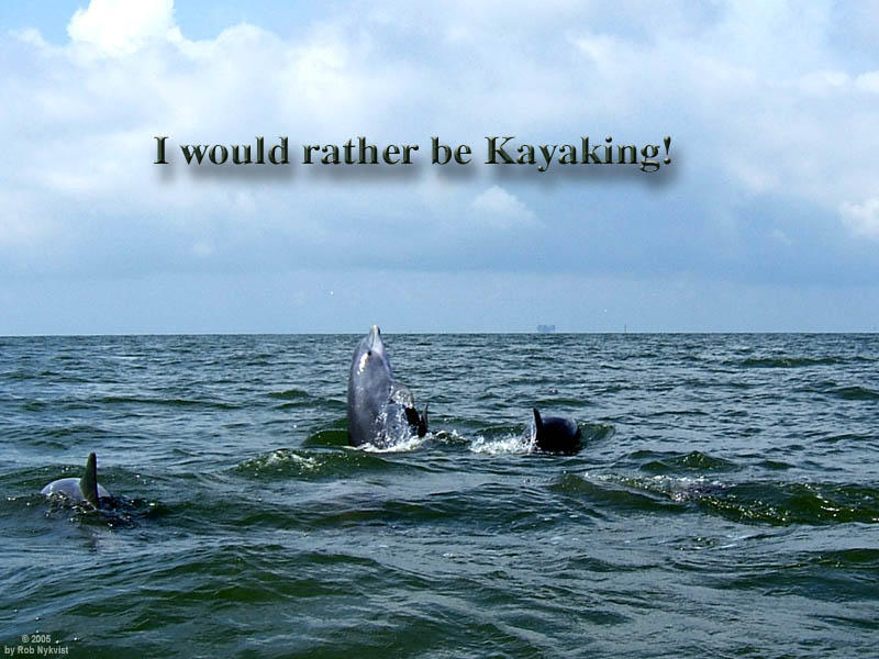
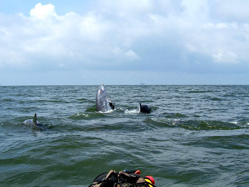
(4) Above right. While heading back to the Rock Jetties, a pod of about 10 dolphin crossed my path. They were in a feeding or playful frenzy. I caught a wave and surfed right in on them quietly. That was a mistake. Two of playful dolphin surfaced so close they almost knocked me over, but luckily, all I got was soaked. After my presence was discovered, they went into showoff mode. I actually think they recognize me from previous meetings. They remember the hunter’s orange hat, which I wear for visibility. On this day, I had a boat go out of its way to “rescue” me. Orange is also a color to use to signal for help.
 (5) Above left.
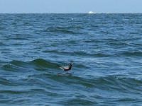
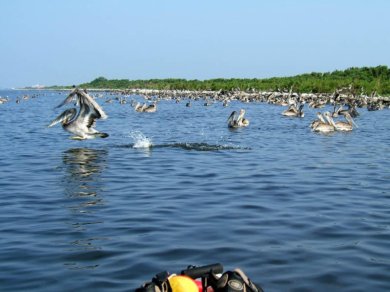
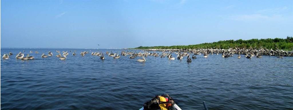
 Not long after seeing the dolphin, a small black object came into view. Dauphin Island is a receiving site of many migratory birds that fly across the Gulf of Mexico from other countries. Image cropped, here was one tired bird that didn’t have enough energy to finish its flight. The bird, one I don’t recognize off hand, was just standing on a block of wood no bigger than a foot square. Sure hope it made it to land.
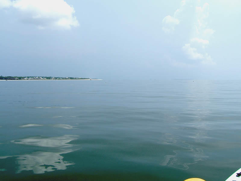
(6) Above right. Soon as I got back to the launch area, the southern storm broke up and the skies cleared. That was a good enough signal for me to cross the Bay, and this time by pedaling, not sailing. The seas were still a bit too choppy for me to sail. Got to Fort Morgan where I watched a man pull in about a dozen crab nets to yield three crabs. After a quick swim and a snack break, due to a forming storm northwest of Dauphin Island, I decided to haul butt back across (huff/puff). It was starting to get hot. Dauphin Island is visible in the background, about 4 miles away.
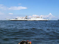
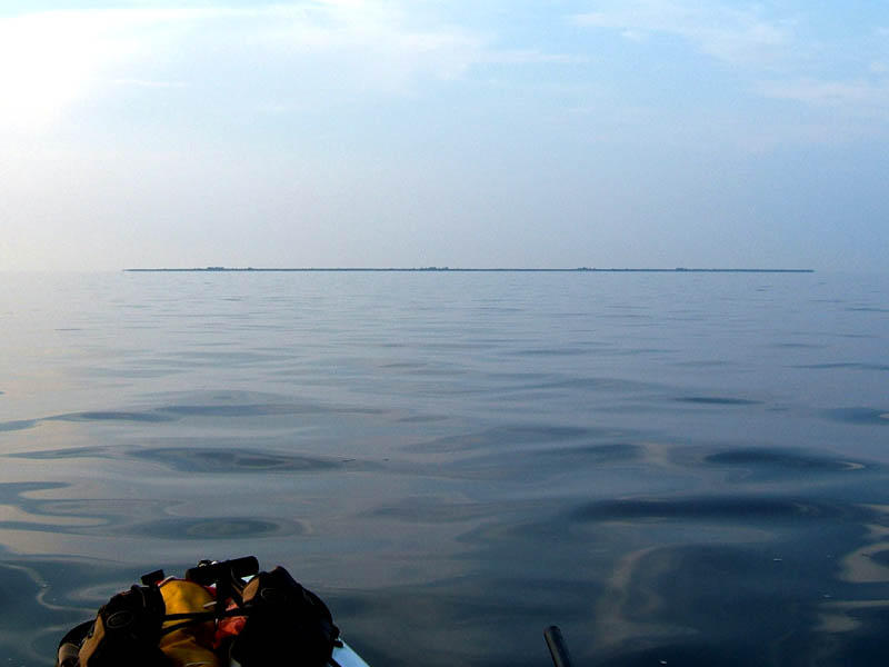
 (7) Above left.
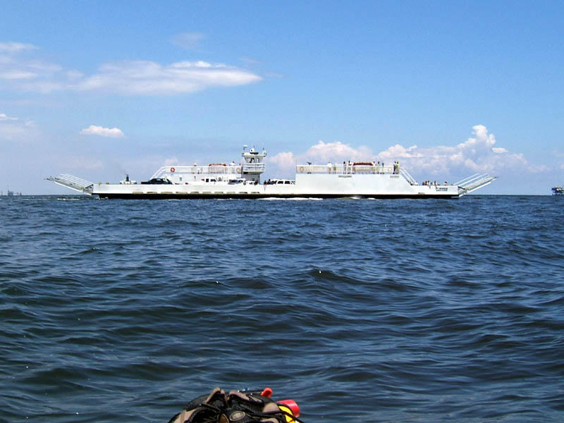
 The
Fort Morgan Ferry and I crossed paths several times. The folks on board waved and I waved back. No telling what the captain thought of the crazy little boat in the middle of the Bay.
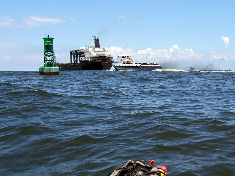
(8) Above right. I stopped on the west side of the shipping channel after sprinting across it (huff, puff), to watch a crew boat and a ship pass by, next to Buoy 19, which has three sets of swinging arms and three gongs on it. No significant wakes – I was disappointed.
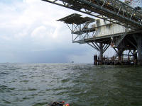
 (9) Above left.
 On the way back, despite the forming storm, I wanted to check out the dual Exxon platform northeast of Dauphin Island, up close and personal. It is unbelievable what man can do with modern technology.
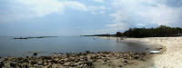
(10) Above right. The storm disappeared as quickly as it formed. Even though conditions were still perfect for kayaking, I had enough sun and fun for the day. This is a photomerge of the launch site by the Rock Jetties as I ended the trip. This makes a great launch site because of the protected waters and the short distance to carry the kayak.
We are tied to the ocean. And when we go back to the sea, whether it is to sail or to watch - we are going back from whence we came." -John F. Kennedy


