Showing posts with label Sunken Boats. Show all posts

Tuesday, March 27, 2012

03/27/2012 - Lower Delta

Tired of padding around in Mobile's waterways, I went elsewhere today and paddled for miles without ever seeing a single piece of litter. When there is no trash, the camera gets to focus on other things seen during the kayaking trip. All the posts in this blog could be trash free if only Mobile's urban waterways and nearby shorelines were kept clean.

Header Image is a merge of several photos showing more Blue Flag.

Sunrise going under the Interstate at Tensaw River.

Welcome aboard on the SS Samual Jonesy. This eco tourism boat does not have the funds to operate anymore. Won't you please raise taxes so SS Samual Jonsey can pay his crew?

Coot having breakfast on SAV (Submerged Aquatic Vegetation).

The further away from Mobile I paddled, the more beautiful the waterways were. Boaters take great pride in keeping the Mobile-Tensaw Delta free of litter and they deserve a pat on the back.

A couple of Osprey Eagles.

 Not sure what kind of birdie this is - maybe a Hawk or Kestrel. One foot was hidden.

It is a good time to see alligators out working on their sun tan.

You can clearly see the alligator's ear in this photo - it is the slit to the left of the eye angling down toward the water.

Insects were out enjoying a beautiful spring day while hooking up with mates.

Butterflies were frequently landing on the plentiful Iris flowers.

Teal ducks playing follow the leader.

Blue iris flowers were dominating the natural landscapes.

Nature's botanical garden is best viewed from a Kayak!

Nature's botanical garden.
We live in a society where pizza gets to your house before the police. That is just wrong.
Littering is Wrong Too!

Thursday, September 29, 2011

09/29/2011 - Upper Dog River

Launch: Home
Destination: Upper Dog River
Distance: 8 miles (round trip).
Time Pedaling: 2 hours
Weather: Sunny, temperature 71 degrees, winds out of the north at 5 mph. Tide dropping. Current less than 0.5 mph. No waves. Water temp 83 degrees.

Header Image is a photo of the head of a great blue heron.

View of the sunrise this morning.

Another view of the sunrise.

Morning Glory flowers (Ipomoea) over at Dog River Park.

This is boat called "The Rats Ass" that someone anchored off Dog River Park and abandoned just before Tropical Storm Lee. When the winds come from the south the rear side of the boat bangs against the concrete wall. I reported it to the Coast Guard and they are trying to track down the owner. The last time it was registered was three years ago. This reminds me of the sunken Chris Craft boat that I reported leaking fuel in Alligator Bayou a few years ago. The Coast Guard said it wasn't the first time his boat had sunk. What better way to get rid of it than towing it, anchoring it and claiming it isn't yours anymore. No one can touch it, not even after it sinks. Some people really do not give a Rat's Ass. That is why there are a dozen or two sunken boats slowly shedding their toxic chemicals into the Dog River watershed that flows into Mobile Bay. Truly, our waters are becoming garbage dumps and that is unacceptable.

Meantime, at Dog River Park, trash from the Coastal Cleanup is being picked through by either dogs or aluminum can bandits. I suspect the latter. Notice the loose trash ready to float away into the water... Wouldn't it be nice if there was an incentive like a 5 cent refund for each plastic bottles the bandits pick up and recycle? We need a Deposit-Refund bottle bill passed for plastic bottles and styrofoam cups.

This area was cleaned during the Coastal Cleanup. All it took was one rain yesterday and this is what I have to look at for another 50 weeks until the next Coastal Cleanup. I'm embarrassed to lead paddles in upper Dog River Scenic Blueway.

Sunrise through the moss draped trees.

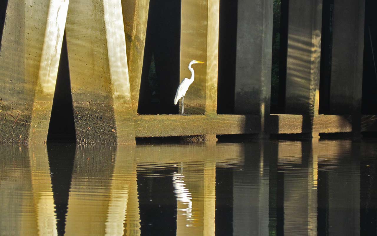
A great egret utilizes man made bridge bracing for its fishing platform.

A great blue heron backlit from the sun.

Someone had a morning swim before directing its attention to hunting breakfast.

Friday, August 12, 2011

08/12/2011 - Goat Island and Canal Maze

Launch: Fowl River Marina off Cedar Point Road
Launch Cost: $5
Destination: Goat Island and the maze of canals north of it.
Distance: 13 miles (round trip)
Paddle time: 4-1/4 hours
Weather: Mostly Sunny. Hot morning. Heat advisory warning for the afternoon. Storm generated some winds. Rain started the minute I got back to the launch site.
GPS Track: To view or download the GPS track of this trip, Click Here.


Header Image. Why Bother? Because I care!

Headed toward Mobile Bay.

Split sunrise as seen from just north of Goat Island (not the Goat Island near the Battleship).

Marsh Fleabane was in bloom, also known as stinkweed.

The scenery in the maze of canals north of Goat Island ranges from low pine lands like this to salt marshes with no trees.

A heron and a egret watch out for each other.

Saw many black-crowned night herons.

I had just rounded the corner of Goat Island and gotten into Mobile Bay when this photo was taken. Only had 1/4 mile (0.4 km) of open water to paddle to reach the entrance of Fowl River.

Nature threw me an "in your face" reminder that she deserves respect on open waters. With no real warning, in less than 60 seconds the wind went from zero to about 30 mph. (Dauphin Island recorded 44 mph winds related to this line of storms.) Waves were soon slapping the kayak and wind driven spray completely soaked me. I didn't dare stop to take any more photos or to try to put on the spray skirt. I was struggling just to make forward progress and it took a long time to paddle that 1/4 mile. In hindsight, this makes me think, "What would I have done had those winds been 60 miles per hour (96 km)?" Hmmm, I've never given that much thought. I definitely will pay more attention to turbulence clouds (which you can see in both these photos) from now on and will have that spray skirt on BEFORE the squall line hits.

After finally reaching Fowl River, I smelled petroleum and saw petroleum. That is the Dauphin Island Parkway bridge going over Fowl River in the background.

I paddled around trying to find the source of the fuel leak and it appeared to be coming from one of the motors on this vessel. The wonderful people at Fowl River Marina helped me report the fuel leak to the proper authorities. Thanks!

Friday, September 24, 2010

09/19/2010 - Bayou La Trash

More photos of Bayou La Trash taken less than 24 hours AFTER the Coastal Cleanup.

Header Image

1) The can at the edge of the water was not empty, was open and it contained some kind of toxic chemicals.

2) The pier in between the two public boat ramps. If the public in this area behaves so trashy, the public boat ramp needs to be privatized, gated, with rules like no alcohol allowed, and fees to launch boats or fish put in place. That will put a crimp in the pigs behavior along this public waterway. And to think, one of the people bitching at me claimed all the trash comes from outside Bayou La Trash and floats in. The two above photos pretty much sums up one source of the trash lining the shoreline of Bayou La Trash.

3) Another scene of trash and a nearby abandoned vessel. (Update: Someone burned this boat to the water line.)

4) You may have remembered seeing a photo on this blog of this wreck back on Nov 19, 2009. They clean wrecked trucks off the interstates real fast, but leave wrecked boats to rot along shorelines letting them leach paints, chemicals, petroleums, metals and toxins into the water.

5) Most people don't realize that Fluorescent bulbs must be collected as hazardous waste and Mobile County only collects Hazardous Waste about twice a year. Fluorescent bulbs contain mercury and yes, mercury is also in those new compact fluorescent bulbs which Wal-Mart wants to sell 100 Million of this year. Where do you think those TOXIC bulbs are going to end up? In your food chain!

6) Alabama the Beautiful? What pretty pictures those advertisers can paint of beautiful coastal Alabama. It amazes me to see how tolerant the citizens are when their neighbors basically pour poison in the water that everyone shares.  Most people look the other way. Ah, but you drink bottled water, so you are safe, right? You may think that bottled water is better than tap water, but reports indicate store-bought water is actually less regulated than the water you get out of your faucet for free.
It is time for people to get outraged about our water and to get motivated enough to help put polluters and litter spreaders behind bars so the prison system can use them to help clean up the waterways.

Thursday, June 17, 2010

06/17/2010 - Bayou Coden (1 of 2)

Launch: Was going to launch free at Bayou La Batre but it was bustling with oil spill related activity so I launched at nearby Bayou Coden. Launch cost had gone up from $3 to $5 thanks to the oil spill profiteering opportunities.
Destination: Bayou Coden, Bayou La Batre and Coffee Island.
Distance: Approx 16 miles.
Paddle time: Approx 6 hours.
Weather: Hot and humid (90s) with nearby thunderstorms.
Track: To view or download the GPS track of this trip, Click Here.


1) While at Coffee Island, an oil spill worker on a boat called me over and advised me that although it was okay to be padding inside the booms today, tomorrow all this area may be off limits to recreational boat use.

2) When these oil booms get coated with oil, kayakers will have to find somewhere else to paddle. I saw streams of light brown particles getting past these booms but it didn't appear to be oil so I didn't take a photo. According to another photo seen on the web on this web page, the light brown substance is indeed oil related. No petroleum fumes could be smelled.

3) Like Bayou La Batre, Bayou Coden is another waterway that leaves boat wrecks in their waterway that are navigational hazards.

4) An abandoned building is slowly overtaken by growing vegetation.

5) A photo taken along Bayou Coden's shoreline. I recently paddled in the northeast and never saw trashy shorelines like this, even in working harbors.

6) A shorebird feeds among crab trap material, plastic trash and rope. Bayou Coden was very trashy.

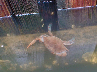
7) A crab feeds along the edge of a pier.
8) A cat looking for fresh fish.

9) Swallows in their protective nest under a bridge.

10) Further up in Bayou Coden, it is much prettier.