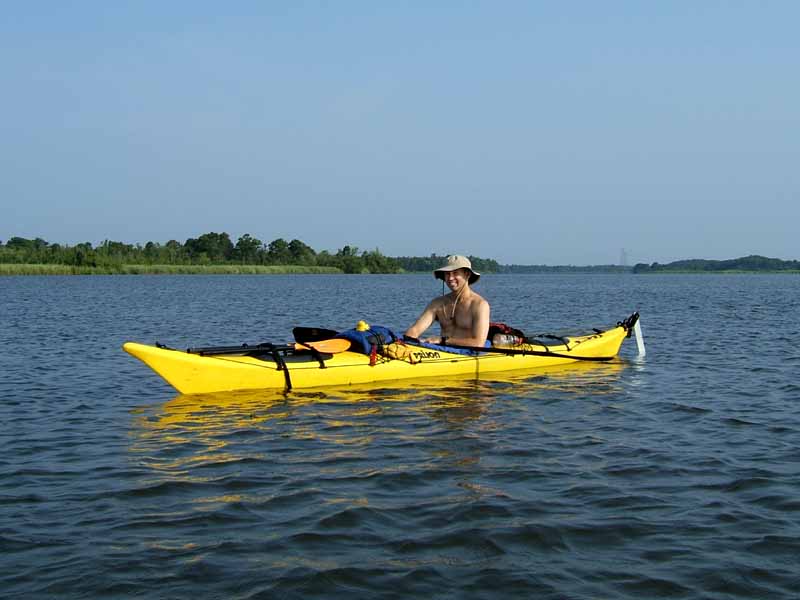
(1) Above left. Danny, in a yellow Seayak made by Prijon, was the leader of this Mobile Bay Canoe and Kayak Club trip deep into the heart of the Mobile-Tensaw River Delta. By the time we started the trip at 8:00 in the morning, the sun was already beaming down intense rays of heat. Check out Danny's blog by clicking here. (2) Above right. Along Oak Bayou there were a number of nice hunting and fishing camps that looked well kept.


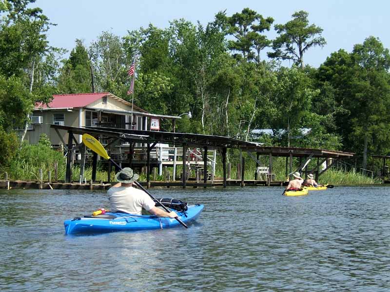
(3) Above left. On the outskirts of the good camps was the trailer park on water. David paddles by “Camp Ugly Duck.” (4) Above right. We saw several juvenile Yellow Crowned Night Herons on this trip. Also saw some ducks, a swallow-tail kite, gulls, terns, ospreys, warblers, and more.


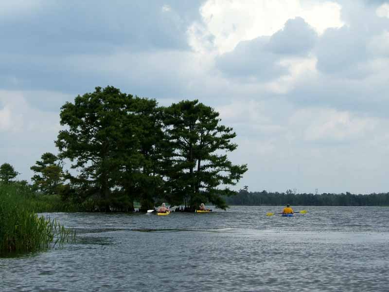
(5) Above left. Finally, about 11:00 am as Tony (left) and Danny (right) enter Chuckfee Bay, some clouds started forming. Would there be any shade to relieve the heat? (6) Above right. Later, in Mallard Fork, despite abundant clouds, the sun seemed to keep bearing down on us as we paddled across the almost slick waters. David is in the blue Pungo140 kayak made by Wilderness. Tony is in the yellow Monarch kayak made by Perception. Only four of us went on this long trip.
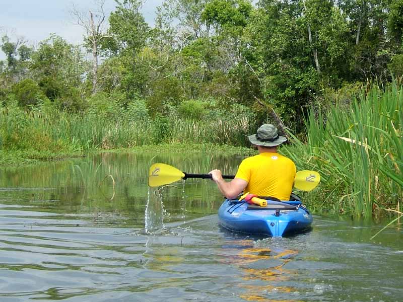
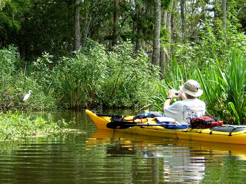
(7) Above left. As we went further up into the streams, the travel way got narrower. Water sheets off David’s paddle as we maintained a slow but steady pace. (8) Above right. While exploring an unnamed tributary on the south side of Chuckfee Bay, a white heron poses as Danny takes a photo of it.


(9) Above left. If there was a central theme to this paddle, I’d have to say it was big lubber grasshoppers. They were out in masses eating vegetation, climbing up trees, swimming across the water, etc. (10) Above right. After a brief rain, we noticed the grasshoppers displaying small red wings and under the wings there were clusters of bright red bumps. Unfortunately, most of my photos of the red bumps were blurred due to low lighting conditions. If you look closely, you can see a few red bumps in the middle of this grasshopper’s back.

(11) Above left. When it came time to cut across Chuckfee Bay, the winds picked up – headwinds of course, generated from nearby rainstorms. (12) Above right. This photo, taken on Raft River, was about two miles away from the launch site. Despite the warm temperatures, this was a nice kayak trip. Thanks Danny!
24 Miles in July in Alabama.. you guys are insane, great job!
ReplyDelete