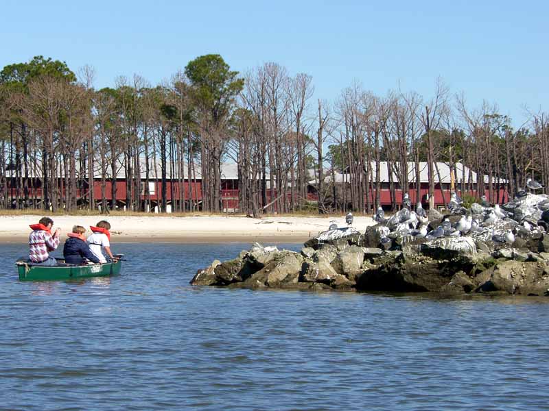

(1) Above left. With winds from the north, conditions were nice on the south side of Dauphin Island. Some paddlers in a canoe were checking out the birds on the rock jetties. (2) Above right. A pelican all comfy and happy that it wasn't born a turkey.
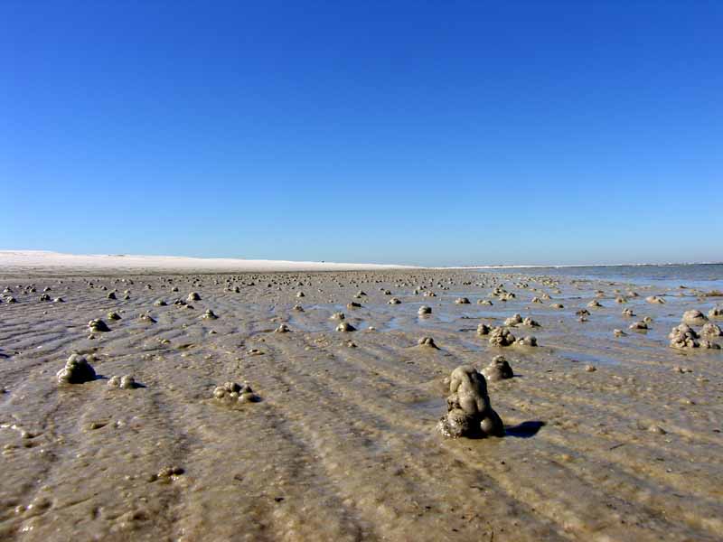
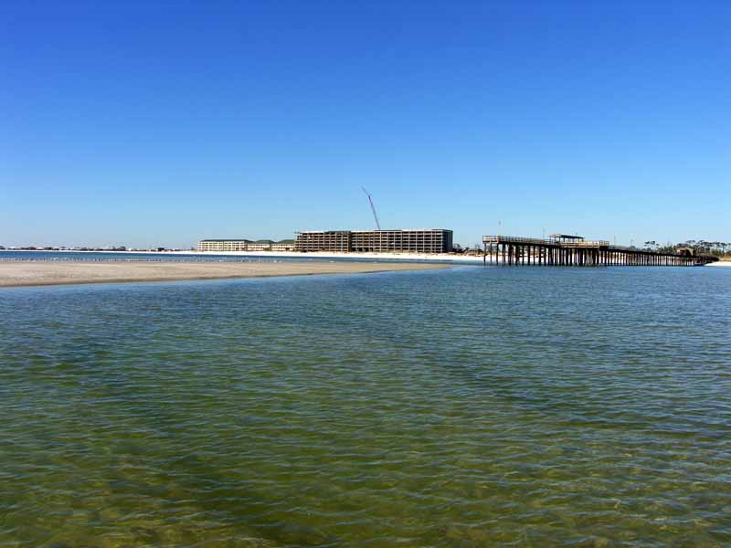
(2) Above left. Down on Sand Island, the water was about as low as I’ve ever seen it. (3) Above right. The sand continues to shift away from the Pier. The sand in this photo to the left of the pier is usually under water.
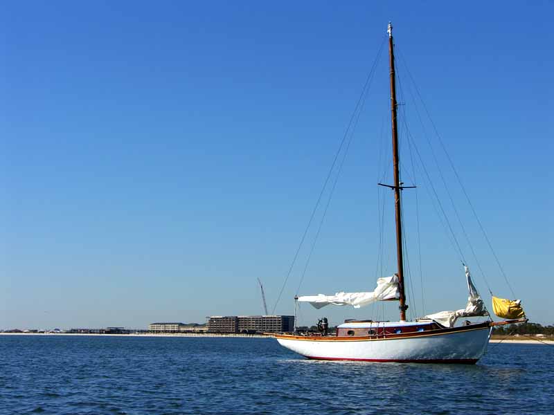

(3) Above left. The only boat in Pelican Bay. (4) Above right. The tide was low enough to allow mountain bikers to ride down the beach - a wonderful way to enjoy the beach. Hey Ruth...
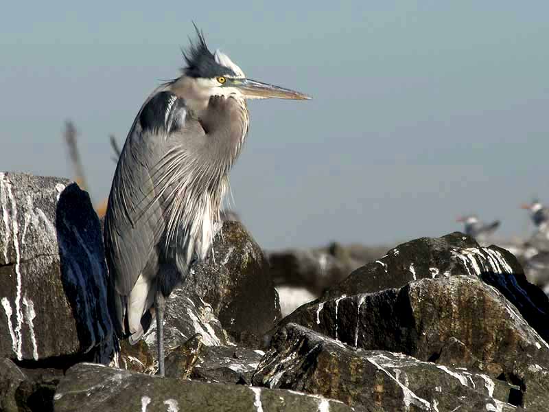

(7) Above left. This heron looked like it had a rough night. (8) Above right. This pelican looked like it had a great morning. Yeehaa!

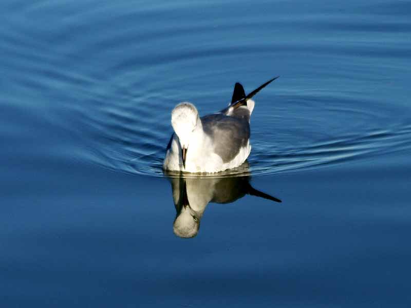
(9) Above left. As I was leaving Dauphin Island, I noticed a new pier behind the restrooms adjacent to the Ferry. On the pier was the solution to what this bunch of hollow concrete pyramids are. I thought they would one day end up making an off-shore reef. Instead, these concrete pyramids are called WADs, short for Water Attenuation Devices, and they are permanent. They were put there to protect the salt water marsh on the left during storms. (10) Above right. A seagull mesmerized by its own reflection in the water. Kayaking at Dauphin Island can be mesmerizing, too!
No comments:
Post a Comment
Note: Only a member of this blog may post a comment.