Friday, April 29, 2005

04/29/2005 - Tucker's Lodge Boat Ramp

Chickasaw Creek – LST - Pedal Trip Summary
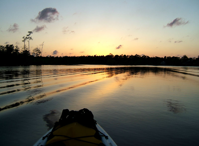
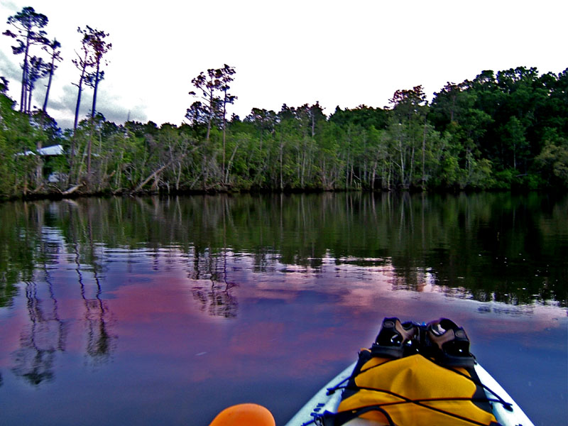
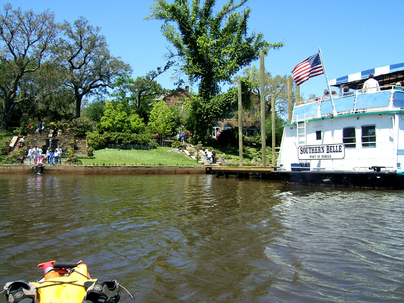
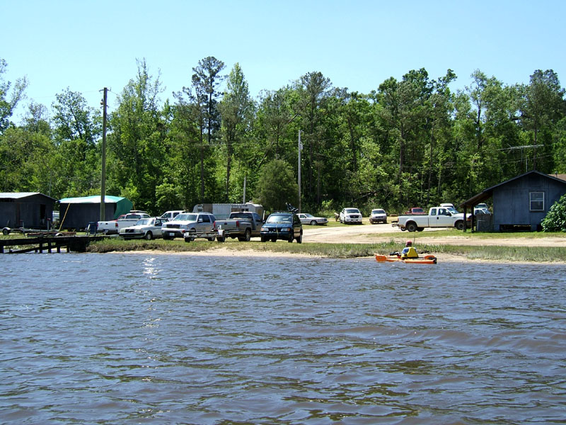
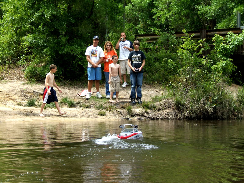
Went on a short pedal trip after work since it was suppose to be storming all day Saturday. It was cloudy, temp about 80 degrees, winds strong and gusty, which is why I chose an inland destination, and tide was high. Launch: Tucker’s Lodge in Chickasaw. Route: East on Chickasaw Creek to the Pumphouse Canal. Distance: 4.8 miles. Average Speed: 3.1 mph. Pace: Very slow on trip out with many stops. Fast on the way back. Time: Approx. 1.5 hours.

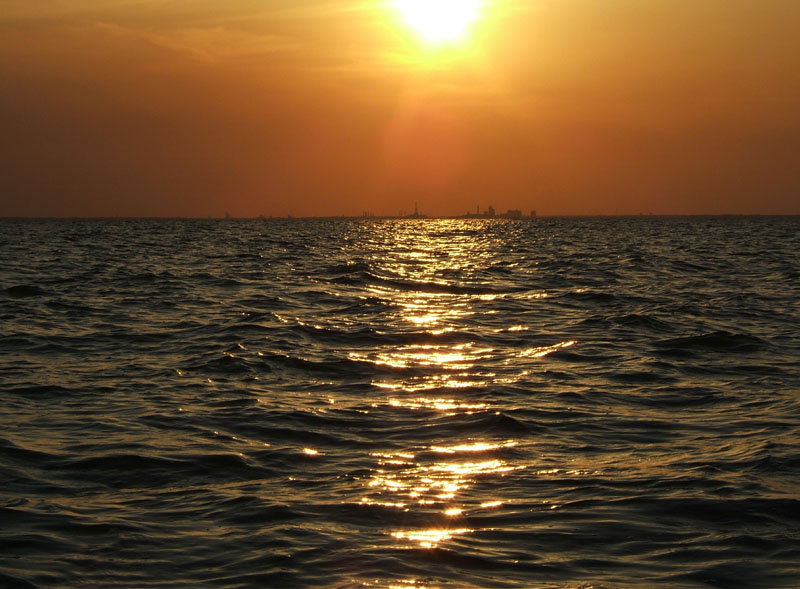
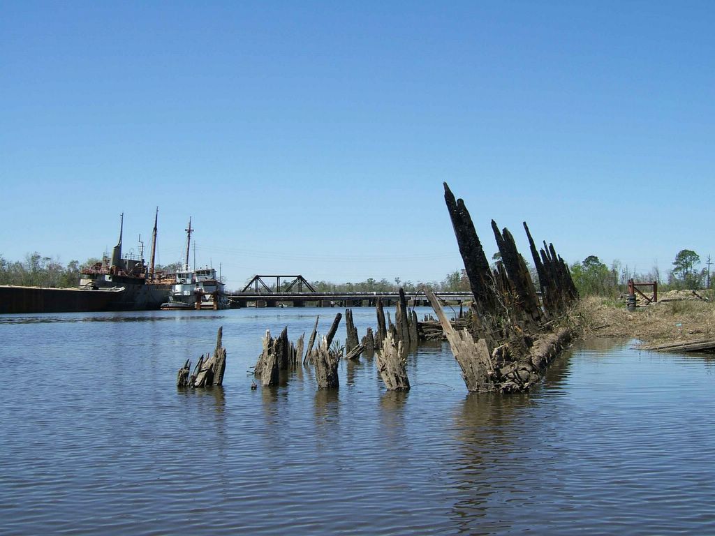
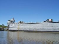
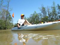
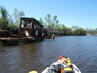
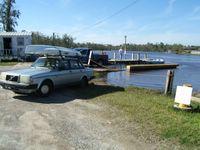
(1) Above left photo shows high tide at Tucker’s Lodge. A strong wind from the south was blowing the water from the bay inland creating even high than normal tide. (2) First destination was to go see the LST-325 (Landing Ship, Tank), an amphibious vessel designed to land battle-ready tanks. It has BIG doors on the front which you can see in the above photo on the right. LST 325 is currently at Hook's Terminal in Chickasaw, AL. Visiting hours are Monday through Friday, from 10 am until 3 pm. This historical ship will be leaving on May 17th and coming back on July 4th, this year. Visit the LST while you can because its eventual home will be Evansville, Indiana. http://www.lstmemorial.org/default.htm

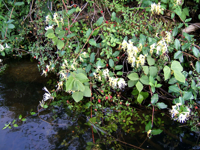
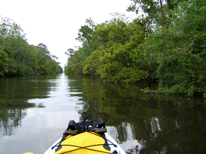
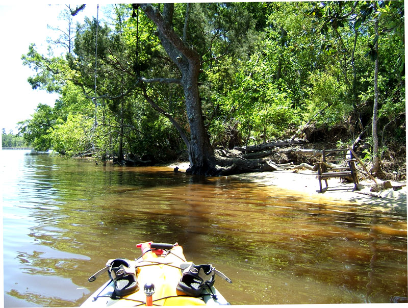
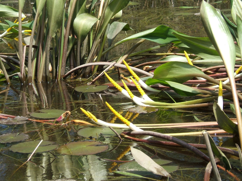
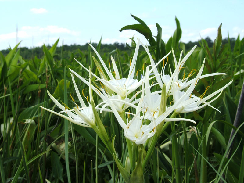
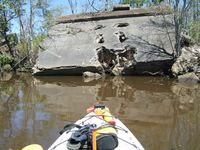
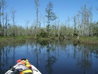
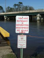
(3) On the banks near the LST, wild flowers were out in force - Honeysuckle, Mints, Nightshade and others I’ve never seen. Dewberries were ripe for the picking. (4) Second destination was the Pumphouse Canal where the waters are very sheltered from northerly or southerly winds as you can see in the above right photo. Saw spider lilies and blue iris in bloom. Besides mosquitoes, yellow flies were very active causing me to quickly turn around and head for the wind.

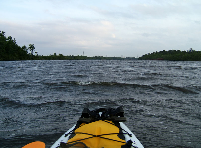
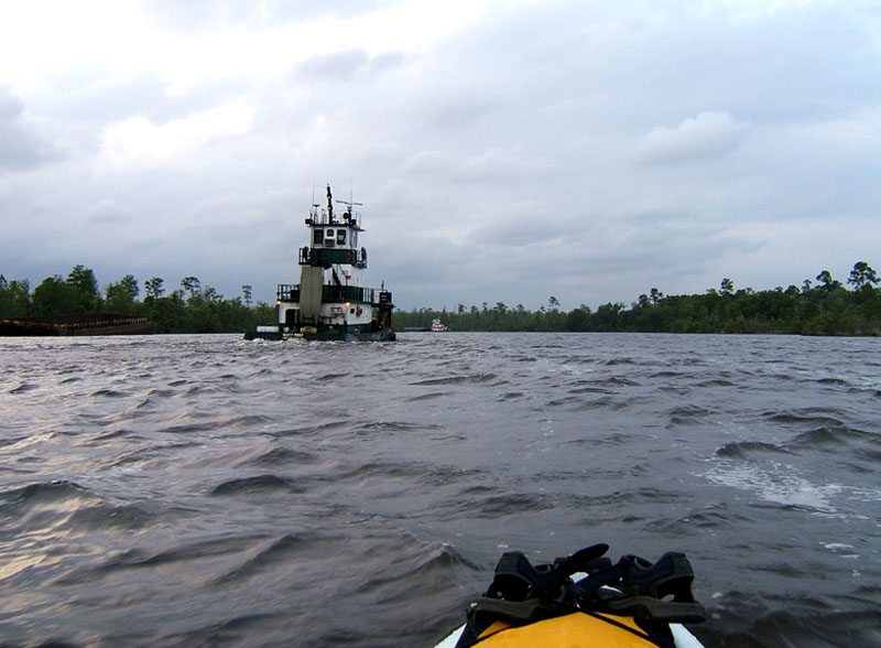
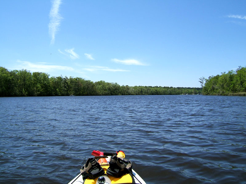
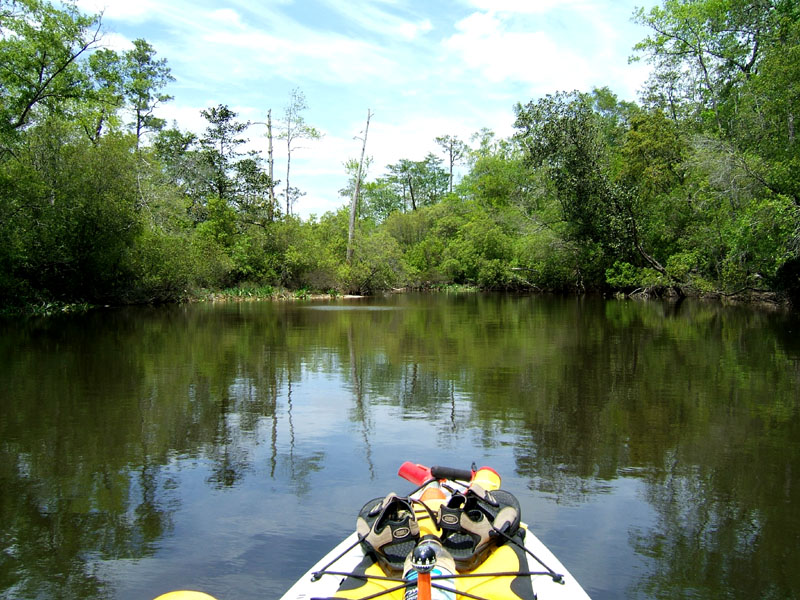
(5) Chickasaw creek takes a turn to the south before coming out in Mobile River. It the above left photo, winds were whipping up small choppy waves, but I stayed dry. (6) In the above right photo, on the return trip, I enjoyed surfing the kayak in the wake of tugboat while it lasted.

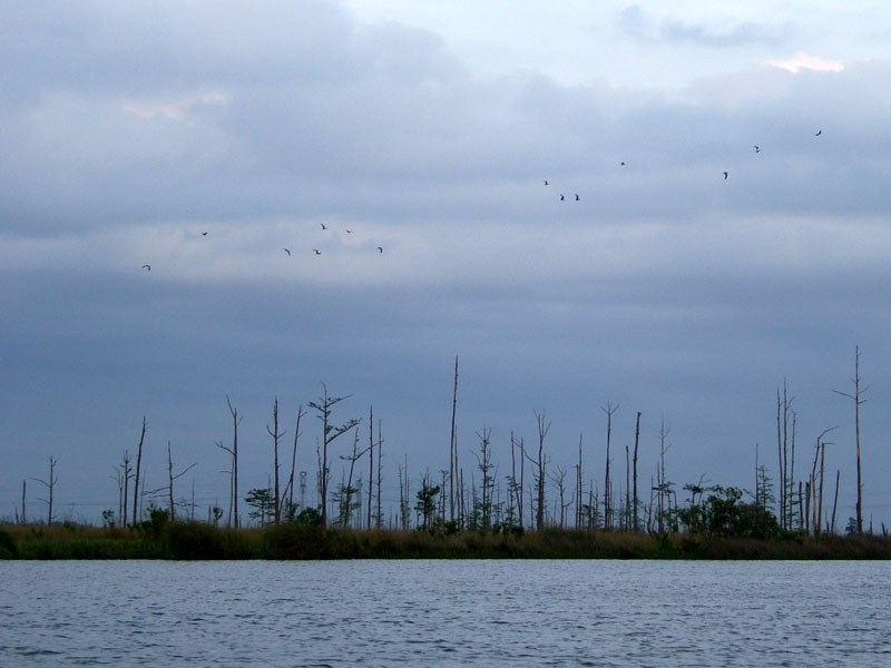
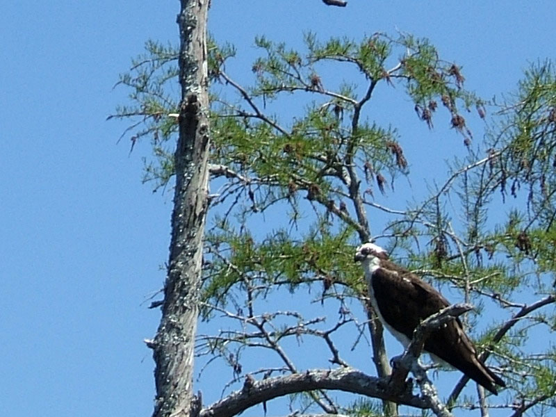
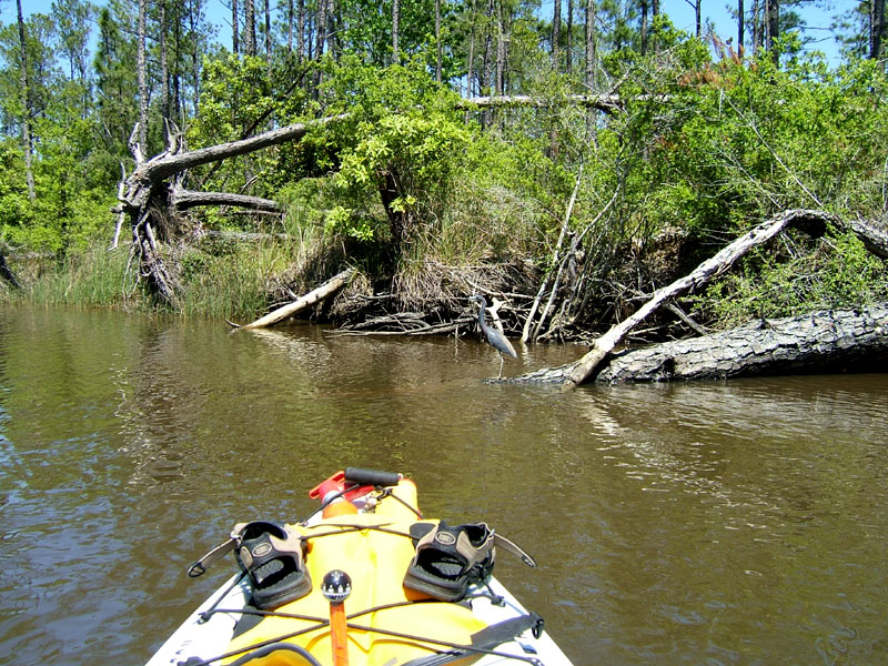
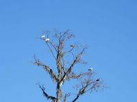
(7) A third destination was Shell Bayou in order to get out of the wind and waves. In the above left photo, you can see skeletons of trees along with sea gulls. There was a never ending stream of sea gulls headed south. The dead trees have been stripped of almost every limb by Osprey Eagles. Osprey Eagles will dive bomb and grab a limb with its powerful claws breaking it off the tree for use in their huge nests. (8) Blue flag (iris) is blooming along the banks of Shell Bayou. The blue flag in the above right photo are bent over from the force of the wind. Kayak trips do not have to be long to be enjoyable. May the current be with you.

Thursday, April 28, 2005

04/28/2005 - Memories Fish Camp Location

Fowl River Pedal Trip Summary
April 28, 2005. Thursday. 6:30 pm – 8:00 pm. Sunny, 80-75 degrees, light winds from the south. I decided to do a short trip this evening at a workout pace. Between taking photos, I was pedaling at 4-5 mph, breathing hard, worked up a sweat, and it felt great. Launch: Memories Fish Camp ($3 Fee). Route: Down Fowl River to the Grave Yard and back. Distance: 5.4 miles round trip. Average Speed: 4.0 mph. Time: About 80 minutes. Below is a photo journal of this trip.

(1) Conditions were perfect for this later afternoon trip. The top left photo shows nice reflectivity off the slick waters. (2) The Osprey Eagles, one shown in above right photo, were out in abundance, along with plenty of Sea Gulls, and Swallows.

(3) Just after a nice sunset, a fast bass boat went speeding by leaving a wake that reflected nicely on the calm waters. (4) Some wispy clouds caught a red tint from the sun as horizon darkened. To get the red horizon showing on the reflection on the water like it really was doing, the photo was lightened. It was most beautiful. Now that we’re on daylight savings time, I’ll be going on more kayak trips after work. Watching a sunset from a kayak is one of the best forms of stress relief. I feel relaxed!

Sunday, April 24, 2005

04/24/2005 - Memories Fish Camp Location

Fowl River Pedal Trip Summary
April 24, 2005. Sunday. 10:00 am - 4:30 pm. Sunny, 50-65 degrees, cold front winds from the northwest 10-20 mph. Because of strong northerly winds, I decided to again stay in protected waters. Based on the timing of high tide, I chose to go down to the narrows to enjoy minimal current. Launch: Memories Fish Camp ($3 Fee). Route: Down Fowl River, past Bellingrath Gardens, through the Narrows, and back. Distance: 18.8 miles round trip. Average Speed: 3.2 mph. Time: About 6 hours pedaling with two breaks. Below is a photo journal of this trip. (Click on image for larger view.)

(1) Above left photo, Memories Fishing Camp, located on the upstream side of Fowl River, is unique among local launch sites. The locals are serious about their fishing, food, country music, and spirits. Geese can be found nearby looking for handouts. Not much parking though, so carpool if you have the option. (2) The upstream side has some nice protected areas to explore, like in the above photo on the right. Also, about the first mile downstream is designated as “Idle Speed” meaning boats must go slow.

(3) In the above left photo, nailed to the top of an upside down telephone pole is an Osprey Eagle platform. Platforms like this are plentiful along Fowl River and most are occupied. The Osprey Eagle can be seen in the top of the tallest tree on the left. (4) After rounding the bend on the river, the Osprey Eagle let me get closer for a better picture (cropped).

(5) The downside of kayaking Fowl River is boat traffic. The worst offenders are these pontoon boats rented from Fowl River Marina that leave a substantial wake. They are occasionally operated by dimwits who do not know the rules of the waterways. So, kayakers that sit low in the water, you may have to wear a spray skirt. Boat wakes do not bother me though, in the high and dry Hobie Outback. Kayaking in Fowl River is one of my favorite trips. (6) Above right photo, the dock is still under construction after being destroyed by Hurricane Ivan last year. The Southern Belle is a tour boat that operates out of Bellingrath Gardens. Although a big boat, it hardly leaves a wake. Every time I pass by Bellingrath, I wonder when they will remove that ugly eye-sore of a diseased tree that is held together by vines.

(7) A good stopping place to take a break is just south of Bellingrath Gardens. In the above left photo, you can see a swing rope and an old chair. The beach is hard sand and there are some tree roots that are perfect to sit on. (8) Just south of Bellingrath, the river splits. Go east to get to Mobile Bay or go south to get to Fowl River Bay. Back in the 70s, the Corps of Engineers connected the West Fowl River with the East Fowl River by cutting over a mile long channel between the two rivers, now known as "The Narrows," shown in the above right photo. I like this as a destination because there is a variety of birds to see. The fallen trees are due to boat wakes undermining root systems and hurricane force winds.

(9-10) In the two above photos, both taken in The Narrows, you can see a Tri-colored Heron. Rather than fly away, it seemed interested in the Outback and lingered for a close look. Beyond The Narrows is Fowl River West which crosses Highway 188 about 1.5 miles past Zirlott’s Shipyard. Zirlott’s was my turn around point on this trip.

Parting Shots: You never know what is around the next corner when you are exploring in a kayak. (11) In the above left photo, it is not often you see water spewing out of a small island clump. That was cool! (12) Before you draw conclusions about the above right photo, let me confirm the great dane was a HUGE dog and probably weighted as much as its owner. The great dane was watching the other dog in the water, not sniffing the man’s butt. The man bent over was picking up fist sized rocks and tossing them in the water. The dog in the water on the left (Kirk), was swimming to the bottom to retrieve the rocks. I’ve never seen a dog so at home in the water. Kayaking is spelled: F U N.

Saturday, April 23, 2005

04/23/2005 - Buzbee's Launch

Bay Minette Creek Pedal Trip SummaryApril 23, 2005. Saturday. Noon-3pm. Sunny, 65-70 degrees, cold front winds from northwest, 15-25mph. Today, because of a small craft advisory, I opted to pedal up the protected waters of Bay Minette Creek. Launch: Buzbee's Landing. Route: Northeast up Bay Minette Creek and back. Distance: 11.7 miles round trip. Average Speed: Leisurely 3.1 mph. Nice fresh crisp air from the north made this a superb day to be on the water. Below is a photo journal of this trip. (You can click/double click on images to view them at a larger size.)


(1) The left photo above shows Buzbee's Landing. A sandy shore makes Buzbee's Landing a favorite kayak launch site. Launch fee is $3. A kayaker was landing as I was taking off. (2) Right photo above shows Bay Minette Creek as it goes off toward the Northeast. The further up you go, the narrower it gets, meaning less wind. At Buzbee's landing, the creek is pretty wide, so, for the first 30 minutes or so, there were some gusty winds.


(3) Left photo above: After about a mile or so, Golden Club (Never Wet) started showing up on both sides of the creek. It is called Never Wet because you can submerge the leaves of the plant and when they come to the surface, there is no sign of them ever having been wet. (4) Right photo above is of a house boat, half on land, half in the water. Windows were broken, so, it doesn't appear to be occupied. Aren't houseboats beautiful? Who is responsible for getting rid of houseboats when they become a hazard?


(5)(6) I was surprised when Mountain Laurel started showing up on the banks (2 photos above). There were impressive stands of this beautiful shrub for the next two miles. It turned an ordinary pedal trip into a memorable pedal trip. There seemed to be two species - one pinkish and the other completely white.


(7) As Bay Minette Creek narrowed, the waters became smoother (left photo above). I love this time of year when the winter colors of gray and brown give way to rich spring greens. (8) A little over 5 miles upstream is the Bromley Road Bridge - a great place to get out and take a break (right photo above). Hurricane Ivan left a big pine tree stretching across the creek leaving just enough room for a kayak to get around.


(9) Left photo above: At the Bromley Road Bridge, an object moving on the water startled me. When I went around the fallen tree, there was a bright shiny LITTLE boat moving swiftly. It was a remote control boat. For a minute, I didn't know what it was. As I rounded the corner, the RC boat owners were surprised by my boat - tit for tat. We avoided a near collision. The operator turned his boat around and then I started chasing it. That little boat had power! (10) Right photo above: I turned around at the Bromley bridge and headed back. About half an hour later, I noticed a large fish dead in the water and pulled it aboard to see what it was. Had never seen a fish like this and had to look it up on the internet after getting home. It was about a 3-4 foot long Spoonbill Catfish (not a true catfish). Spoonbills are usually caught by snagging them and in the photo you can see a hook on its spoonbill. The spoonbill catfish can get up to 7 feet long and weight 200 pounds. Did you know there may be some HUGE fish under the waters you kayak in?


(11) Back at Buzbee's, I decided to make a quick trip out into Bay Minette Basin to brave the stronger winds. Blue Flag (Iris) is blooming all over and Spider Lilies, like in the above photo, are just begining to bloom. I really enjoyed today's kayak trip!

Tuesday, April 19, 2005

04/19/2005 - Fairhope Pier Launch Site


Earth Day Kayak Demos at Fairhope Pier
I started out Earth Day in Fairhope, AL., where several businesses would be conducting Kayak Demos. Thinking the event began at 10:00 AM as advertised on a web page, I showed up an hour early. Little did I know the Kayak Demo didn't begin till Noon. Oh well, that meant extra time to kayak. It was a fine morning, too, slick water, and no wind.
First photo above is of Jimmy trying out my Hobie Outback SUV kayak, with the sail up. Luckily, you can pedal the kayak to propel it when the wind stops. Later in the day, when the Kayak Demo event was kicking in, some ducks came over to see who could paddle faster.


Earth Day Sunset Paddle Summary
No one called or emailed to indicate they would be attending my Sunset Pedal, so, when my watch flashed 6:00 PM, I started pedaling off into the sunset, alone. There was some wind out of the south causing a light chop. About 20 minutes into the pedal, I met up with two kayakers near the shore. They were not looking to join the sunset paddle but were very interested in the pedal kayak. I proceeded to demo the Outback for them and then headed south. About 7:00 PM the sun was getting low on the horizon and I started taking some photos. In the first sunset photo (cropped), the Theodore Industrial Canal buildings are barely visible in the background of the golden sunset. Not far from Point Clear I turned the kayak sideways to take more photos and noticed 4 kayaks headed my way. I turned around to go meet them and learned they had come out for my paddle. Thankfully, Tom, Fred, Billy, and Patrick decided to go paddling even though I had already left. In the second photograph, after we met up, Fred, Patrick, and Tom are enjoying the last few rays of sun before it disappears. We then turned around and headed back to the Fairhope Pier. On the way back we stopped to listen to a live band playing some pretty decent blues on a stage near the beach. By the time we returned, the waves were finally decreasing in size. Back on shore, even though the moon was lighting the darkness, Fred was able to point out many stars. It was a good day. Every day on water is a good day!

Sunday, April 03, 2005

04/03/2005 - Chickasaw Creek - Tucker's Lodge Launch Site

Chickasaw Creek - Pumphouse Canal Pedal Trip Summary
Not a cloud in the sky, temp. 60-70 degrees, winds light in the protected areas but breezy in open waters. That is why I planned this trip in protected waters. Had planned on launching at Chickasabogue Park, but the launch site was closed due to high water and dangerous current from last week's flooding. Ironically, a mile downstream at Tucker's Lodge, no sign of flooding at all.
Launch: Tucker's Lodge. 
Route: Chickasaw Creek to Pumphouse Canal, to Black Bayou and back. 
Distance: 8.6 miles. 
Average Speed: 2.8 mph. Nice easy sightseeing and photo taking pace. 
Time: About 3 hours. Absolutely beautiful day! Below is a photo journal of this trip.

1) After you go under a few bridges (east from launch site), you'll find yourself in an industrial area with old ships lining the bank on one side and an old sunken barge on the other side.
2) Just around the corner to the right sits the LST-325 that is open for public tours during the week. I could only fit half the ship into the photo above.
3) Continuing east, tons of old road trash the north bank which divides Chickasaw Creek from Black Bayou. Some of the road scraps are memorable, like the piece in the above photo reminds me of a smiley face. It never fails to get me to smile as I pass by it.
4) Further east, just beyond the Shell barge fueling station and to the right, is the Pumphouse Canal. It is a man made canal about 3-4 miles long. The pumphouse was removed recently. For those days when the winds are blowing, the Pumphouse Canal is a great kayaking destination. Note how the waters are slick - no wind here even though the wind is blowing elsewhere.
5) There are several short streams on the north side of the Pumphouse Canal that are fun to explore. One of the streams leads to Black Creek. Note how the color of the water is darker compared to the following shot which was taken nearby.
6) I have never been disappointed when it comes to seeing critters when paddling the Pumphouse Canal. An eight to ten foot alligator decided to come out with a splash to greet me, leaving a considerable wake behind it. Don't go swimming in these waters!
7) The railroad bridge was my stopping point because of a log jam. The original plan was to go to Mobile River which is beyond this bridge shown above. To get to the Mobile River which is just 700 feet beyond the bridge, would have meant a short portage. Not up to it today.
8) Me in the Hobie Mirage Outback (my pedal kayak). Yes, enjoying the scenery while getting a workout. Pedal kayaking sure beats in indoor treadmilling!
9) The cute little lizard braved the waters to come out and see the Hobie. The lizard was impressed to say the least. Poor thing wasn't much of a swimmer though, and it needed assistance to get back to shore.
10) Black Bayou, where trash is lining the south bank. Not a very pretty sight. 
11) On the north side of Black Bayou is a little slough that is great for bird watching. Today I got to see swallows doing acrobatic moves just above the water's surface. Got to see some Prothonatory Warblers which are abundant along side the Pumphouse Canal.
12) Also got to see Osprey Eagles, Herons, and Ibis and family. 
13) For those interested, this is what my Hobie Mirage Outback looks like loaded down. It is located against a barge that is conveniently located near the LST-325 for taking a break.
14) Tucker's Lodge (aka Tucker's Landing). It costs $3 to launch a kayak. 
15) Parting shot: Do not eat the fish and beware of owner's spelling! LOL